Old Maps of Snowmass Village, Colorado
Explore 22 old maps of Snowmass Village, spanning from 1893 to today. These high-resolution historic maps reveal how streets, neighborhoods, landmarks, and natural features evolved over time — perfect for genealogy, metal detecting, research, and local history exploration.
What you can do with these maps:
- See how Snowmass Village changed over time: Compare historical maps to modern-day views to trace roads, homesites, rail lines & more.
- View detailed metadata: Each map includes creators, publishers, year, scale, and archive source.
- Overlay maps with satellite & LiDAR: Visualize the past alongside modern tools to explore terrain & human change.
- Trusted historical sources: Maps sourced from the USGS, Library of Congress, and other archives.
- Access maps your way: View online, download high-res files, or order prints for personal or research use.
Start exploring old maps of Snowmass Village to uncover forgotten places, hidden landmarks, and the deep history beneath your feet.
Snowmass Village, CO maps
(22)- 1893 Map of Aspen, 1958 Print
 1893 Aspen1958 Print · USGSSilver mining in the Roaring Fork Valley was in full swing during the late nineteenth century. Genealogists and historians can trace industrial roots at the Molly Gibson Mine, the early streets of Aspen, and the remote settlement of Ashcroft.2 unique versions available
 - 1895 Map of Aspen
 1895 Aspen1895 Print · USGSSilver mining and high-altitude rail dominate the Aspen area in the mid-1890s. Genealogists and historians can trace the industrial footprint of the Molly Gibson Mine, locate the vanished streets of Ashcroft, and follow the Denver and Rio Grande R. R.5 unique versions available
 - 1909 Map of Mount Jackson, 1955 Print
 1909 Mount Jackson1955 Print · USGSPitkin County was a thriving center of high-country mining and railroading during the early 1900s. Genealogists and historians can trace the rail lines of the Colorado Midland Railway and locate vanished sites like Ashcroft and the Little Annie Mine.2 unique versions available
 - 1911 Map of Mount Jackson
 1911 Mount Jackson1911 Print · USGSThe high Rockies of Pitkin and Eagle Counties are captured here at the peak of the mountain rail era. Researchers can trace the dual tracks of the Colorado Midland RR and the Denver and Rio Grande RR past Aspen and the Little Annie Mine.3 unique versions available
 - 1957 Map of Leadville, 1978 Print
 1957 Leadville1978 Print · USGSHigh-country mining and rail transport define the central Colorado Rockies during the mid-to-late twentieth century. Researchers can trace the industrial footprints of Gilman and Climax, find small rail stops like Malta, and follow the Denver and Rio Grande Western RR.2 unique versions available
 - 1959 Map of Leadville
 1959 Leadville1959 Print · USGSThe Colorado high country in the late fifties is a landscape of mining history and military training, from the streets of Leadville to the Camp Hale grounds. Genealogists and historians can trace the Denver and Rio Grande Western RR alongside now-deserted sites like Ashcroft and Independence.
 - 1960 Map of Leadville
 1960 Leadville1960 Print · USGSThe Colorado high country in the mid-fifties comes alive through its mining camps, river valleys, and rail lines. Trace the industrial legacy of the Climax Molybdenum Mine and explore the alpine reaches of the Camp Hale Military Reservation.2 unique versions available
 - 1960 Map of Highland Peak, 1964 Print
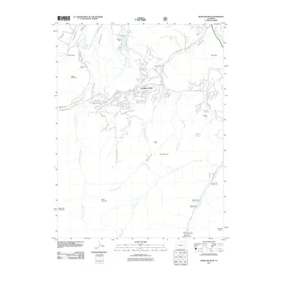
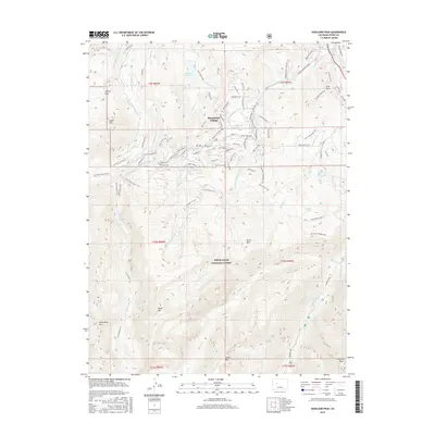
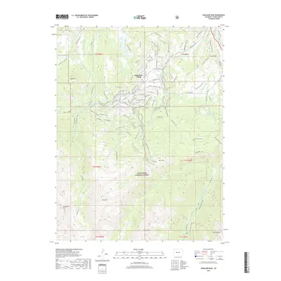
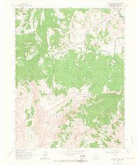 1960 Highland Peak1964 Print · USGSThe high peaks of Pitkin County stand at the threshold of the modern ski era in this early 1960s survey. Hikers and historians can trace the network of irrigation ditches and remote campsites like Maroon Creek Campground 1 near Highland Peak and Burnt Mountain.4 unique versions available
 - 1961 Map of Woody Creek, 1963 Print
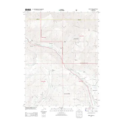
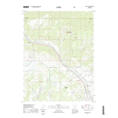
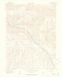 1961 Woody Creek1963 Print · USGSPitkin County in the early sixties reveals a landscape of high-altitude ranching and railroading along the Roaring Fork River. Local historians can trace the Denver and Rio Grande Western tracks, find the Wheatley Cem, and locate early water works like the Walker Wonder Ditch.5 unique versions available
 - 1962 Map of Leadville
 1962 Leadville1962 Print · USGSThe Colorado high country in the early sixties was a rugged landscape of mining camps, military training grounds, and emerging ski towns. Researchers can trace the legacy of Camp Hale, locate the Molybdenum mine near Leadville, and follow the Denver and Rio Grande Western RR through the canyons.
 - 1964 Map of Leadville
 1964 Leadville1964 Print · USGSColorado's high country is captured here during the mid-1960s, showing the intersection of mining history and mountain transport. Trace the legacy of high-altitude industry at the Climax Molybdenum Mine or follow the rails of the Colorado and Southern Ry past Leadville.
 - 1983 Map of Leadville
 1983 Leadville1983 Print · USGSThe Colorado high country in the early eighties shows a landscape of world-class peaks and deep-rooted mining industry. Trace the historic tracks of the Denver and Rio Grande Western RR and locate high-altitude operations like the Climax Mine or London Mine.2 unique versions available
 - 2011 Map of Woody Creek, 2011 Print
 2011 Woody Creek2011 Print · USGSCovers Snowmass Village, including Woody Creek, Snowmass, and other nearby areas
 - 2011 Map of Highland Peak, 2011 Print
 2011 Highland Peak2011 Print · USGSCovers Snowmass Village, including Pitkin County, United States, and other nearby areas
 - 2013 Map of Woody Creek, 2013 Print
 2013 Woody Creek2013 Print · USGSCovers Snowmass Village, including Woody Creek, Snowmass, and other nearby areas
 - 2013 Map of Highland Peak, 2013 Print
 2013 Highland Peak2013 Print · USGSCovers Snowmass Village, including Pitkin County, United States, and other nearby areas
 - 2016 Map of Woody Creek, 2016 Print
 2016 Woody Creek2016 Print · USGSCovers Snowmass Village, including Woody Creek, Snowmass, and other nearby areas
 - 2016 Map of Highland Peak, 2016 Print
 2016 Highland Peak2016 Print · USGSCovers Snowmass Village, including Pitkin County, United States, and other nearby areas
 - 2019 Map of Highland Peak, 2019 Print
 2019 Highland Peak2019 Print · USGSCovers Snowmass Village, including Pitkin County, United States, and other nearby areas
 - 2019 Map of Woody Creek, 2019 Print
 2019 Woody Creek2019 Print · USGSCovers Snowmass Village, including Woody Creek, Snowmass, and other nearby areas
 - 2022 Map of Woody Creek, 2022 Print
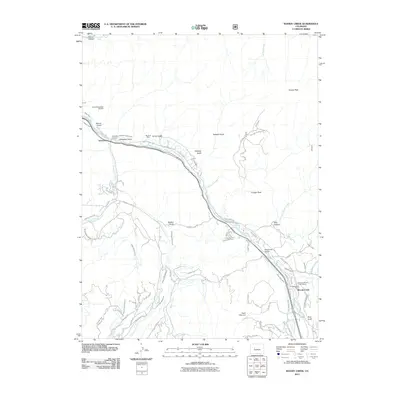
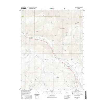
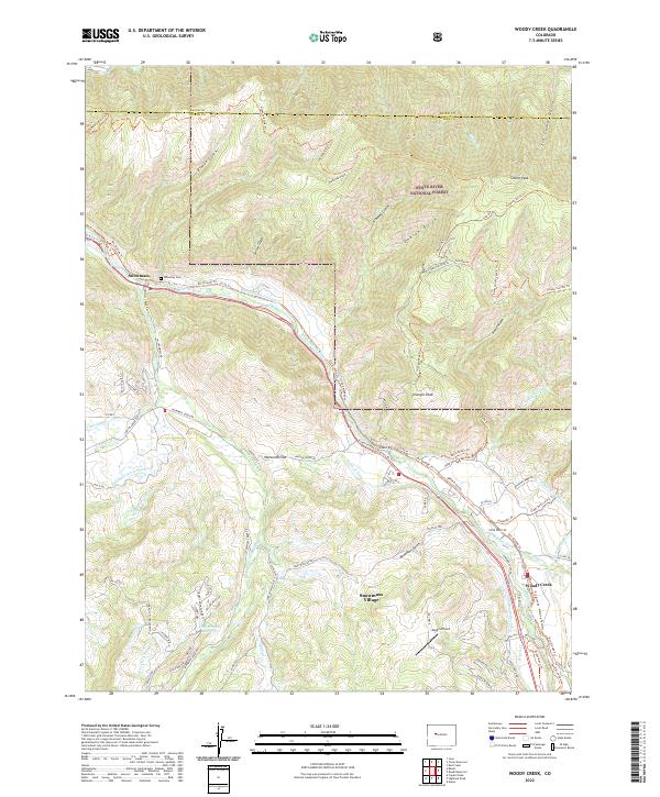 2022 Woody Creek2022 Print · USGSThe Pitkin County high country comes alive in this survey of the roaring fork valley, showing the transition from ranching roots to mountain retreats. Trace the intricate system of Brush Cr Ditch and Waco Ditch alongside the Wheatley Cem and Sloane Peak.
 - 2022 Map of Highland Peak, 2022 Print
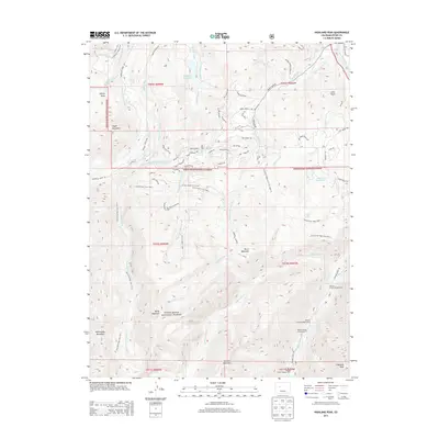
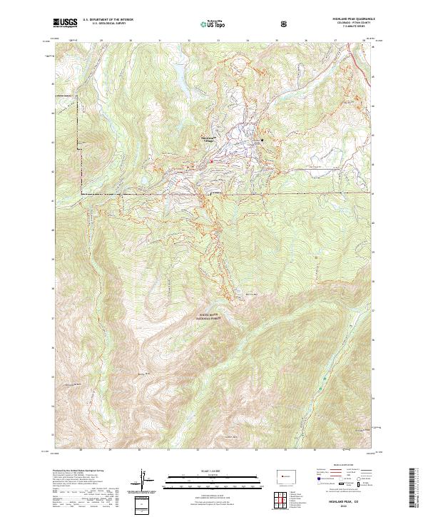 2022 Highland Peak2022 Print · USGSHigh-altitude resort life and complex water systems meet in Pitkin County during the early 2020s. Researchers can trace irrigation networks like the Herrick Ditch or locate the Snowmass Village Community Cem near the Snowmass Ski Area.
End of results
Showing maps 1-22 of 22
Top cities near Snowmass Village
Frequently asked questions
- What are the different types of historical maps available for Snowmass Village?
- What is the oldest map of Snowmass Village?
- Where can I purchase historical maps of Snowmass Village for my home or office?
- Where can I download high-res historical maps of Snowmass Village?
- Are there historical topographic maps available for Snowmass Village?
- Is there historical aerial imagery available for Snowmass Village?
- Where are historical maps of Snowmass Village sourced from?