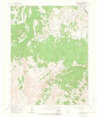
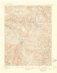
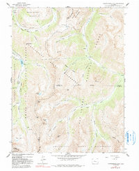
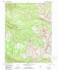
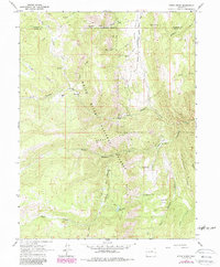
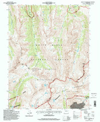
1960 Map of Highland Peak
USGS Topo · Published 1964This historical map portrays the area of Highland Peak in 1960, primarily covering Pitkin County. Featuring a scale of 1:24000, this map provides a highly detailed snapshot of the terrain, roads, buildings, counties, and historical landmarks in the Highland Peak region at the time. Published in 1964, it is one of 4 known editions of this map due to revisions or reprints.
Find a feature on this map
34 named features on this map. Tap any name to fly to it.
Don’t see what you’re looking for? This feature index may not catch every label — zoom into the map to look around manually.
Map Details
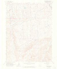
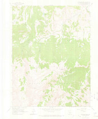
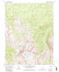
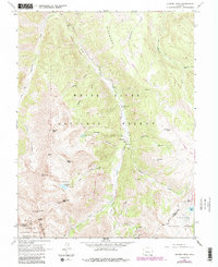
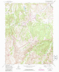
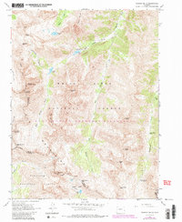
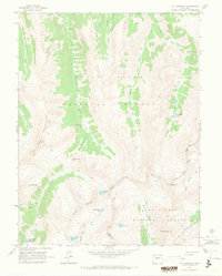
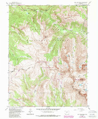
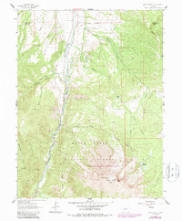
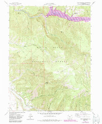
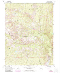
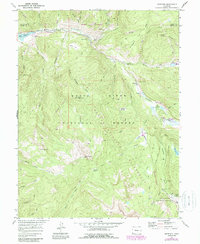
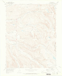
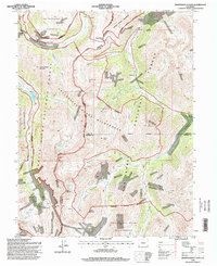
Editions of this 1960 Highland Peak Map
4 editions found
Historical Maps of Snowmass Village Through Time
19 maps found
1909 Mount Jackson
Pitkin County, CO
1911 Mount Jackson
Pitkin County, CO
1960 Capitol Peak
Pitkin County, CO
1960 Hayden Peak
Pitkin County, CO
1960 Highland Peak
Pitkin County, CO
1960 Independence Pass
Pitkin County, CO
1960 Maroon Bells
Pitkin County, CO
1960 Mount Champion
Pitkin County, CO
1960 New York Peak
Pitkin County, CO
1960 Thimble Rock
Pitkin County, CO
1961 Mount Sopris
Pitkin County, CO
1961 Ruedi Reservoir
Pitkin County, CO
1963 Placita
Pitkin County, CO
1963 Stony Ridge
Pitkin County, CO
1970 Meredith
Pitkin County, CO
1970 Nast
Pitkin County, CO
1994 Independence Pass
Pitkin County, CO
1994 Mount Champion
Pitkin County, CO
1994 Nast
Pitkin County, CO