
1960 Map of Capitol Peak
USGS Topo · Published 1964About this map
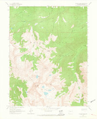
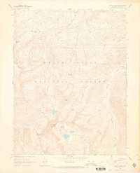
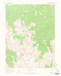
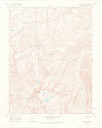
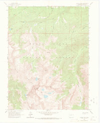
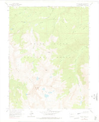
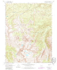
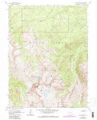
Elk Mountains peaks dominate this high-altitude survey of White River National Forest, where steep ridgelines and glacial basins define the landscape. The map centers on the formidable Capitol Peak, flanked by Mount Daly and Clark Peak. This area is characterized by a network of drainage systems, including Capitol Creek, Snowmass Creek, and East Sopris Creek, which carry snowmelt down from alpine basins like Pierre Lakes and Capitol Lake.
Find a feature on this map
29 named features on this map. Tap any name to fly to it.
Don’t see what you’re looking for? This feature index may not catch every label — zoom into the map to look around manually.
Map Details
Editions of this 1960 Capitol Peak Map
9 editions found
Other maps of this area

1893 · Aspen
USGS Topo · 1:62,500

1895 · Aspen
USGS Topo · 1:62,500

1909 · Mount Jackson
USGS Topo · 1:125,000

1911 · Mount Jackson
USGS Topo · 1:125,000

1957 · Leadville
USGS Topo · 1:250,000

1959 · Leadville
USGS Topo · 1:250,000

1960 · Leadville
USGS Topo · 1:250,000

1960 · Marble
USGS Topo · 1:24,000

1960 · Highland Peak
USGS Topo · 1:24,000

1960 · Maroon Bells
USGS Topo · 1:24,000