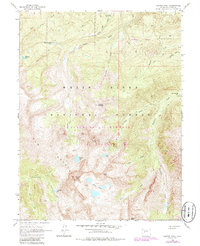
1960 Map of Capitol Peak
USGS Topo · Published 1984About this map
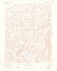
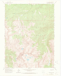
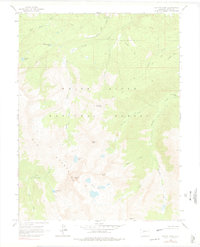
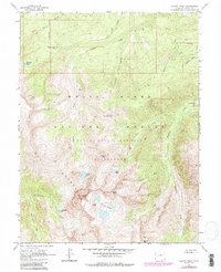
Elk Mountains peaks and high-alpine basins dominate this mid-century survey of the Pitkin County high country. The landscape is defined by the sharp profile of Capitol Peak, flanked by Mount Daly and Clark Peak. This area remained a bastion of wilderness, managed as part of the White River National Forest and protected within the Maroon Bells Snowmass Wilderness. Human infrastructure is sparse, limited to the Snowmass Falls Ranch and the Capitol Creek Guard Station near the northern boundary. Dozens of glacial water bodies, including the Pierre Lakes, Moon Lake, and Avalanche Lake, dot the cirques. A complex network of labeled pack trails provides the only access through the steep terrain, tracing routes along Snowmass Creek and over the high Heckert Pass, reflecting the era's reliance on traditional backcountry travel long before modern road expansion.
Find a feature on this map
31 named features on this map. Tap any name to fly to it.
Don’t see what you’re looking for? This feature index may not catch every label — zoom into the map to look around manually.
Map Details
Editions of this 1960 Capitol Peak Map
9 editions found

Other maps of this area

1893 · Aspen
USGS Topo · 1:62,500

1895 · Aspen
USGS Topo · 1:62,500

1909 · Mount Jackson
USGS Topo · 1:125,000

1911 · Mount Jackson
USGS Topo · 1:125,000

1957 · Leadville
USGS Topo · 1:250,000

1959 · Leadville
USGS Topo · 1:250,000

1960 · Leadville
USGS Topo · 1:250,000

1960 · Marble
USGS Topo · 1:24,000

1960 · Highland Peak
USGS Topo · 1:24,000

1960 · Maroon Bells
USGS Topo · 1:24,000