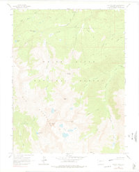
1960 Map of Capitol Peak
USGS Topo · Published 1978About this map
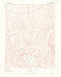
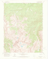
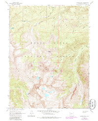
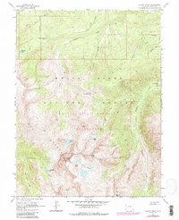
White River National Forest defines this high-altitude landscape in the heart of the Elk Mountains, dominated by the massive summits of Capitol Peak and Mount Daly. The map documents a rugged wilderness largely accessible only by an extensive network of pack trails and footpaths, reflecting the area's character in the mid-20th century before intensive modernization. Water resources are central to the terrain, with high alpine basins holding Capitol Lake, Hardscrabble Lake, and the Pierre Lakes. Evidence of human management and seasonal habitation appears at the Capitol Creek Guard Station and the Snowmass Falls Ranch, while a single Ditch label near Elk Creek hints at early water diversion efforts for lower-elevation agricultural use. The drainage patterns of Snowmass Creek and Capitol Creek dictate the movement through these peaks, leading toward the southern boundary at Heckert Pass.
Find a feature on this map
28 named features on this map. Tap any name to fly to it.
Don’t see what you’re looking for? This feature index may not catch every label — zoom into the map to look around manually.
Map Details
Editions of this 1960 Capitol Peak Map
9 editions found

Other maps of this area

1893 · Aspen
USGS Topo · 1:62,500

1895 · Aspen
USGS Topo · 1:62,500

1909 · Mount Jackson
USGS Topo · 1:125,000

1911 · Mount Jackson
USGS Topo · 1:125,000

1957 · Leadville
USGS Topo · 1:250,000

1959 · Leadville
USGS Topo · 1:250,000

1960 · Leadville
USGS Topo · 1:250,000

1960 · Marble
USGS Topo · 1:24,000

1960 · Highland Peak
USGS Topo · 1:24,000

1960 · Maroon Bells
USGS Topo · 1:24,000