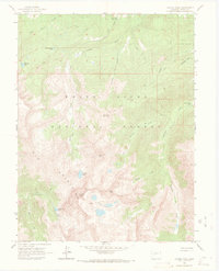
1960 Map of Capitol Peak
USGS Topo · Published 1971About this map
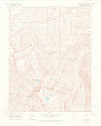
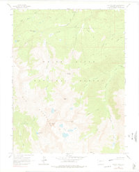
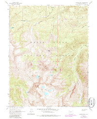
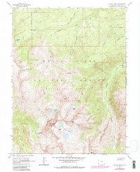
Capitol Peak dominates this high-altitude landscape within the White River National Forest, where the transition from alpine summits to deep creek drainages is meticulously documented. The survey captures a wilderness largely defined by its drainage networks, including East Sopris Creek and Little Elk Creek, punctuated by remote high-country water bodies like Hardscrabble Lake and the Pierre Lakes. Human presence is minimal, centered on the Capitol Creek Guard Station and the Snowmass Falls Ranch, reflecting a landscape dedicated to conservation and seasonal management shortly after the mid-century. A network of Pack Trails provides the primary means of navigation through the steep terrain between Mount Daly and Haystack Mountain, tracing the same paths used by forest rangers and early backcountry explorers before modern road developments reached these heights.
Find a feature on this map
28 named features on this map. Tap any name to fly to it.
Don’t see what you’re looking for? This feature index may not catch every label — zoom into the map to look around manually.
Map Details
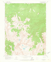
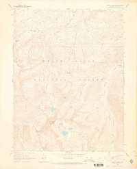
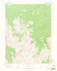
Editions of this 1960 Capitol Peak Map
9 editions found

Other maps of this area

1893 · Aspen
USGS Topo · 1:62,500

1895 · Aspen
USGS Topo · 1:62,500

1909 · Mount Jackson
USGS Topo · 1:125,000

1911 · Mount Jackson
USGS Topo · 1:125,000

1957 · Leadville
USGS Topo · 1:250,000

1959 · Leadville
USGS Topo · 1:250,000

1960 · Leadville
USGS Topo · 1:250,000

1960 · Marble
USGS Topo · 1:24,000

1960 · Highland Peak
USGS Topo · 1:24,000

1960 · Maroon Bells
USGS Topo · 1:24,000