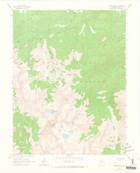
1960 Map of Capitol Peak
USGS Topo · Published 1966About this map
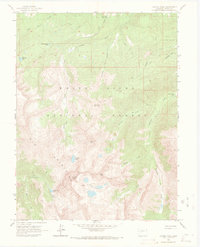
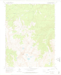
Capitol Peak dominates the high-altitude landscape of the Elk Mountains in this 1960 field-checked survey. The area is defined by a network of drainage basins, where waterways like Capitol Creek, Snowmass Creek, and Avalanche Creek carve through the White River National Forest. Human presence is sparse and functional, centered around the Capitol Creek Guard Station and the Snowmass Falls Ranch. High alpine features including Pierre Lakes and Capitol Lake sit beneath prominent summits like Mount Daly and Clark Peak. Numerous segments of Pack Trail suggest the primary mode of travel through this remote wilderness before the expansion of modern infrastructure. This map captures the region's topography as it was documented just before the 1960s, preserving the names of local landmarks like Haystack Mountain and Hardscrabble Lake.
Find a feature on this map
26 named features on this map. Tap any name to fly to it.
Don’t see what you’re looking for? This feature index may not catch every label — zoom into the map to look around manually.
Map Details
Editions of this 1960 Capitol Peak Map
9 editions found

Other maps of this area

1893 · Aspen
USGS Topo · 1:62,500

1895 · Aspen
USGS Topo · 1:62,500

1909 · Mount Jackson
USGS Topo · 1:125,000

1911 · Mount Jackson
USGS Topo · 1:125,000

1957 · Leadville
USGS Topo · 1:250,000

1959 · Leadville
USGS Topo · 1:250,000

1960 · Leadville
USGS Topo · 1:250,000

1960 · Marble
USGS Topo · 1:24,000

1960 · Highland Peak
USGS Topo · 1:24,000

1960 · Maroon Bells
USGS Topo · 1:24,000