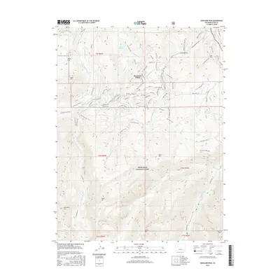
2016 Map of Highland Peak
USGS Topo · Published 2016About this map
Snowmass Village serves as the focal point for this high-altitude landscape, where developed resort infrastructure meets the protected wilderness of the White River National Forest. The map documents a complex network of recreational and utility features, ranging from the technical slopes of the Snowmass Ski Area to the remote waters of Maroon Lake and Whites Lake. The terrain is defined by dramatic peaks such as Highland Peak, Baldy Mtn, and Burnt Mtn, which frame the deep valleys carved by Snowmass Creek and Brush Creek.
Find a feature on this map
131 named features on this map. Tap any name to fly to it.
Don’t see what you’re looking for? This feature index may not catch every label — zoom into the map to look around manually.
Map Details
Editions of this 2016 Highland Peak Map
This is the sole edition of this map. No revisions or reprints were ever made.
Other maps of this area
1893 · Aspen
USGS Topo · 1:62,500
1895 · Aspen
USGS Topo · 1:62,500
1909 · Mount Jackson
USGS Topo · 1:125,000
1911 · Mount Jackson
USGS Topo · 1:125,000
1957 · Leadville
USGS Topo · 1:250,000
1959 · Leadville
USGS Topo · 1:250,000
1960 · Leadville
USGS Topo · 1:250,000
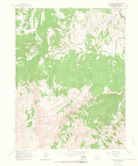
1960 · Highland Peak
USGS Topo · 1:24,000
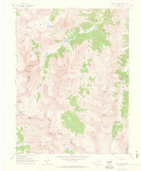
1960 · Maroon Bells
USGS Topo · 1:24,000
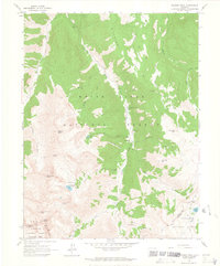
1960 · Hayden Peak
USGS Topo · 1:24,000