Loading...
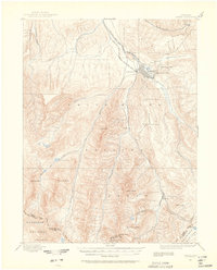
Loading map...1895 Map of Aspen
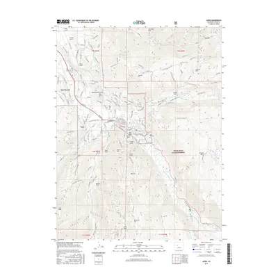
USGS Topo · Published 1939About this map
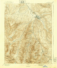
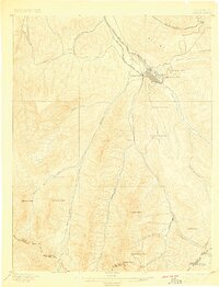
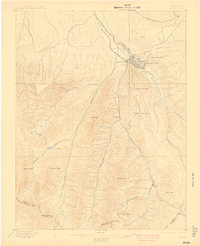
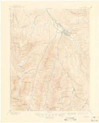
Aspen serves as the industrial hub of this high-altitude landscape, captured here during the peak of its silver-mining era. The confluence of the Roaring Fork and Castle Creek marks the town site, which is flanked by the massive refining capacity of the Holden Works and prestigious operations like the Molly Gibson Mine and Park Regent Mine. The arrival of dual rail lines—the Denver and Rio Grande R. R. and the A. T. and S. F. R. R.—underscores the region's rapid economic integration at the end of the 19th century.
Find a feature on this map
35 named features on this map. Tap any name to fly to it.
Don’t see what you’re looking for? This feature index may not catch every label — zoom into the map to look around manually.
Map Details
Date Portrayed1895
Date Published1939
PublisherU.S. Geological Survey
Map TypeTopographic
Scale1:62,500
Physical Dimensions16.5 x 19.7 inches
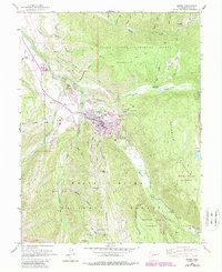
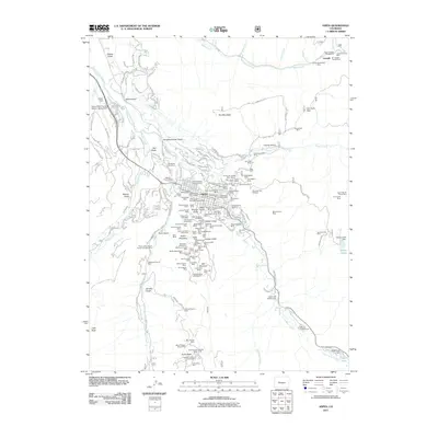
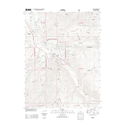
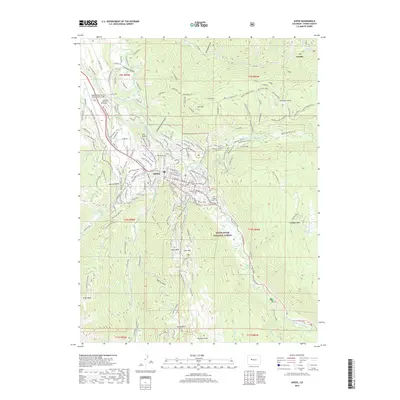
Editions of this 1895 Aspen Map
5 editions found

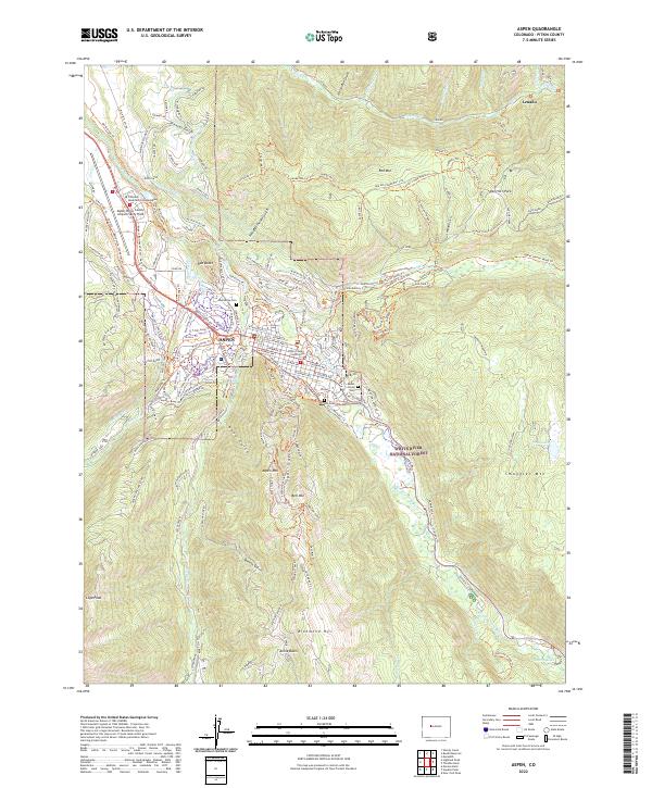
Historical Maps of Aspen Through Time
8 maps found
Featured Locations
Source Details
SourceU.S. Geological Survey
CopyrightPublic Domain