
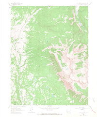
1960 Map of Redstone
USGS Topo · Published 1964About this map
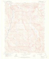
Redstone sits at the heart of the Crystal River valley, a community shaped by industrial roots and the surrounding White River National Forest. The 1960 survey details the settlement's infrastructure, including the Coke Ovens and a local Cem, alongside the thermal waters of Penny Hot Springs. The landscape is a network of water and early transit, defined by Avalanche Creek and Bulldog Creek feeding into the main river channel. High-altitude access is documented through numerous routes like the Hawk Pack Trail and various Jeep Trails that lead toward the Elk Mountains. Evidence of the area's extraction history is visible in the scattered Mines and a single Mine found in the higher elevations. Recreation sites such as Janeway Campground and Osgood Campground indicate the mid-century transition toward a tourism and forest-management economy.
Find a feature on this map
30 named features on this map. Tap any name to fly to it.
Don’t see what you’re looking for? This feature index may not catch every label — zoom into the map to look around manually.
Map Details
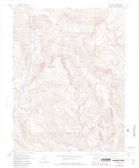
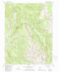
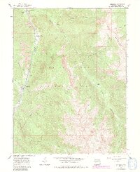
Editions of this 1960 Redstone Map
8 editions found
Other maps of this area

1957 · Leadville
USGS Topo · 1:250,000

1959 · Leadville
USGS Topo · 1:250,000

1960 · Leadville
USGS Topo · 1:250,000

1960 · Marble
USGS Topo · 1:24,000

1960 · Capitol Peak
USGS Topo · 1:24,000
1960 · Snowmass Mountain
USGS Topo · 1:24,000

1961 · Mount Sopris
USGS Topo · 1:24,000

1961 · Basalt
USGS Topo · 1:24,000

1962 · Leadville
USGS Topo · 1:250,000
1963 · Chair Mountain
USGS Topo · 1:24,000