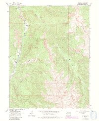
1960 Map of Redstone
USGS Topo · Published 1991About this map
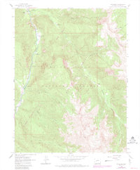
Redstone sits along the Crystal River in this 1960 era survey, showing the settlement's industrial and recreational landscape before significant modern changes. The map documents the area's history through features like the Coke Ovens and several Mines tucked into the mountain slopes, indicating the region's mineral heritage. Natural landmarks such as Penny Hot Springs and the expansive Maroon Bells-Snowmass Wilderness highlight the transition toward a tourism-based economy. Local genealogists may find interest in the Cem located near the town site, while outdoor history is preserved through established sites like Redstone Campground and Avalanche Ranch. The drainage network, including Avalanche Creek and Hell Roaring Creek, illustrates the complex terrain of the Elk Mountains surrounding the river valley.
Find a feature on this map
30 named features on this map. Tap any name to fly to it.
Don’t see what you’re looking for? This feature index may not catch every label — zoom into the map to look around manually.
Map Details
Editions of this 1960 Redstone Map
8 editions found
Other maps of this area

1957 · Leadville
USGS Topo · 1:250,000

1959 · Leadville
USGS Topo · 1:250,000

1960 · Leadville
USGS Topo · 1:250,000

1960 · Marble
USGS Topo · 1:24,000

1960 · Capitol Peak
USGS Topo · 1:24,000

1960 · Redstone
USGS Topo · 1:24,000
1960 · Snowmass Mountain
USGS Topo · 1:24,000

1961 · Mount Sopris
USGS Topo · 1:24,000

1961 · Basalt
USGS Topo · 1:24,000

1962 · Leadville
USGS Topo · 1:250,000