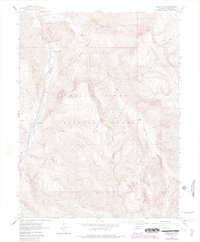
1960 Map of Redstone
USGS Topo · Published 1988About this map
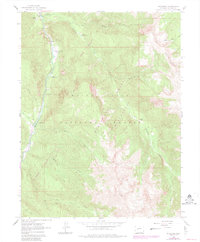
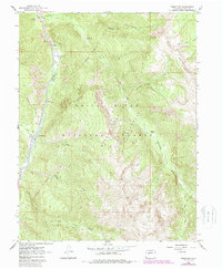
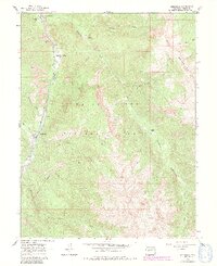
The Crystal River corridor serves as the industrial and recreational heart of this Pitkin County landscape, most notably at the settlement of Redstone. Here, the map documents the historic Coke Ovens and nearby Mines that once fueled the local economy, alongside a small Cem on the hills overlooking Coal Creek. The terrain is dominated by the White River National Forest and the Maroon Bells-Snowmass Wilderness, reflecting a transition from industrial activity to federal conservation.
Find a feature on this map
28 named features on this map. Tap any name to fly to it.
Don’t see what you’re looking for? This feature index may not catch every label — zoom into the map to look around manually.
Map Details
Editions of this 1960 Redstone Map
8 editions found
Other maps of this area

1957 · Leadville
USGS Topo · 1:250,000

1959 · Leadville
USGS Topo · 1:250,000

1960 · Leadville
USGS Topo · 1:250,000

1960 · Marble
USGS Topo · 1:24,000

1960 · Capitol Peak
USGS Topo · 1:24,000

1960 · Redstone
USGS Topo · 1:24,000
1960 · Snowmass Mountain
USGS Topo · 1:24,000

1961 · Mount Sopris
USGS Topo · 1:24,000

1961 · Basalt
USGS Topo · 1:24,000

1962 · Leadville
USGS Topo · 1:250,000