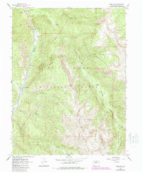
1960 Map of Redstone
USGS Topo · Published 1988About this map
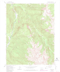
The settlement of Redstone serves as the focal point for this survey, situated where the Crystal River flows south toward the industrial remnants of the Coke Ovens. This area illustrates the late 19th-century transition from a coal-mining enclave to a wilderness-bound landscape, evidenced by the presence of numerous Mines tucked into the steep drainages. The river valley is flanked by the high elevations of the White River National Forest, where steep canyons like Hell Roaring Creek and Avalanche Creek descend into the main valley floor.
Find a feature on this map
27 named features on this map. Tap any name to fly to it.
Don’t see what you’re looking for? This feature index may not catch every label — zoom into the map to look around manually.
Map Details
Editions of this 1960 Redstone Map
8 editions found
Other maps of this area

1957 · Leadville
USGS Topo · 1:250,000

1959 · Leadville
USGS Topo · 1:250,000

1960 · Leadville
USGS Topo · 1:250,000

1960 · Marble
USGS Topo · 1:24,000

1960 · Capitol Peak
USGS Topo · 1:24,000

1960 · Redstone
USGS Topo · 1:24,000
1960 · Snowmass Mountain
USGS Topo · 1:24,000

1961 · Mount Sopris
USGS Topo · 1:24,000

1961 · Basalt
USGS Topo · 1:24,000

1962 · Leadville
USGS Topo · 1:250,000