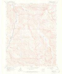
1960 Map of Redstone
USGS Topo · Published 1968About this map
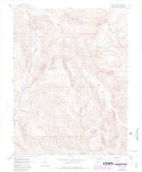
The Crystal River valley serves as the central corridor for this 1960s study, where the village of Redstone stands as a notable historical hub within the White River National Forest. Industrial heritage is evident along the riverbanks, specifically at the Coke Ovens, which hint at the region's mining and processing history alongside scattered Mines and a Mine site in the high country. The terrain transitions sharply from the river valley to the heights of the Elk Mountains, marked by numerous drainage systems like Avalanche Creek and Hell Roaring Creek. Recreational and social points of interest are well-documented, including the Penny Hot Springs, a small Cem, and several campgrounds such as Osgood Campground and Janeway Campground. The presence of a Gaging Station and various Jeep Trails and Pack Trails reflects the active management and accessibility of this mountain landscape.
Find a feature on this map
30 named features on this map. Tap any name to fly to it.
Don’t see what you’re looking for? This feature index may not catch every label — zoom into the map to look around manually.
Map Details
Editions of this 1960 Redstone Map
8 editions found
Other maps of this area

1957 · Leadville
USGS Topo · 1:250,000

1959 · Leadville
USGS Topo · 1:250,000

1960 · Leadville
USGS Topo · 1:250,000

1960 · Marble
USGS Topo · 1:24,000

1960 · Capitol Peak
USGS Topo · 1:24,000

1960 · Redstone
USGS Topo · 1:24,000
1960 · Snowmass Mountain
USGS Topo · 1:24,000

1961 · Mount Sopris
USGS Topo · 1:24,000

1961 · Basalt
USGS Topo · 1:24,000

1962 · Leadville
USGS Topo · 1:250,000