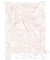
1960 Map of Redstone
USGS Topo · Published 1984About this map
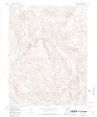
Redstone sits at the heart of this high-country landscape, positioned along the banks of the Crystal River. The map reveals the industrial legacy of the region through the Coke Ovens and several Mines tucked into the steep slopes of the Elk Mountains. This 1960s-era view preserves the layout of local landmarks like Penny Hot Springs and the small Cem just outside the main settlement.
Find a feature on this map
31 named features on this map. Tap any name to fly to it.
Don’t see what you’re looking for? This feature index may not catch every label — zoom into the map to look around manually.
Map Details
Editions of this 1960 Redstone Map
8 editions found
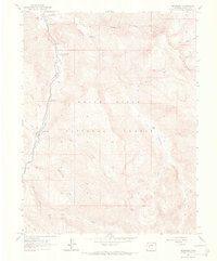
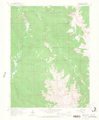
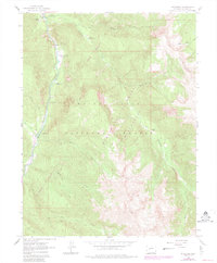
Other maps of this area

1957 · Leadville
USGS Topo · 1:250,000

1959 · Leadville
USGS Topo · 1:250,000

1960 · Leadville
USGS Topo · 1:250,000

1960 · Marble
USGS Topo · 1:24,000

1960 · Capitol Peak
USGS Topo · 1:24,000

1960 · Redstone
USGS Topo · 1:24,000
1960 · Snowmass Mountain
USGS Topo · 1:24,000

1961 · Mount Sopris
USGS Topo · 1:24,000

1961 · Basalt
USGS Topo · 1:24,000

1962 · Leadville
USGS Topo · 1:250,000