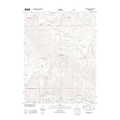
2013 Map of Toner Reservoir
USGS Topo · Published 2013About this map
White River National Forest defines the rugged verticality of this Eagle County landscape, where the high ridges of Red Table Mountain dominate the central terrain. The map documents a network of historical trails and access points essential to high-country ranching and forest management, including the Cattle Creek Trail 1909.1 and Taylor Creek Trail 3510. Water resources are a primary focus, anchored by Toner Reservoir and Sundell Reservoir, alongside numerous alpine lakes such as Sugarloaf Lake and Cherry Lake.
Find a feature on this map
61 named features on this map. Tap any name to fly to it.
Don’t see what you’re looking for? This feature index may not catch every label — zoom into the map to look around manually.
Map Details
Editions of this 2013 Toner Reservoir Map
This is the sole edition of this map. No revisions or reprints were ever made.
Other maps of this area

1909 · Mount Jackson
USGS Topo · 1:125,000

1911 · Mount Jackson
USGS Topo · 1:125,000

1927 · Glenwood Springs
USGS Topo · 1:125,000

1930 · Glenwood Springs
USGS Topo · 1:125,000

1957 · Leadville
USGS Topo · 1:250,000

1959 · Leadville
USGS Topo · 1:250,000

1960 · Leadville
USGS Topo · 1:250,000

1961 · Leon
USGS Topo · 1:24,000

1961 · Basalt
USGS Topo · 1:24,000

1961 · Cottonwood Pass
USGS Topo · 1:24,000