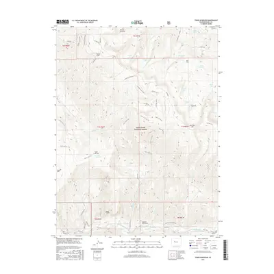
2016 Map of Toner Reservoir
USGS Topo · Published 2016About this map
White River National Forest lands dominate this high-elevation terrain, defined by the prominent ridge of Red Table and the drainage of the Fryingpan River along the southern border. The landscape is a network of mid-century industrial remnants and alpine hydrology, featuring an extensive system of timber access routes like the Redtable Logging Road and various spurs. Water management is central to the area's geography, with the high-altitude Toner Reservoir and Sundell Reservoir supporting the region's needs.
Find a feature on this map
64 named features on this map. Tap any name to fly to it.
Don’t see what you’re looking for? This feature index may not catch every label — zoom into the map to look around manually.
Map Details
Editions of this 2016 Toner Reservoir Map
This is the sole edition of this map. No revisions or reprints were ever made.
Other maps of this area

1909 · Mount Jackson
USGS Topo · 1:125,000

1911 · Mount Jackson
USGS Topo · 1:125,000

1927 · Glenwood Springs
USGS Topo · 1:125,000

1930 · Glenwood Springs
USGS Topo · 1:125,000

1957 · Leadville
USGS Topo · 1:250,000

1959 · Leadville
USGS Topo · 1:250,000

1960 · Leadville
USGS Topo · 1:250,000

1961 · Leon
USGS Topo · 1:24,000

1961 · Basalt
USGS Topo · 1:24,000

1961 · Cottonwood Pass
USGS Topo · 1:24,000