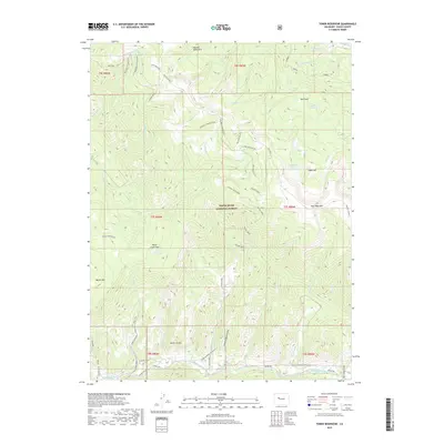
2019 Map of Toner Reservoir
USGS Topo · Published 2019About this map
White River National Forest defines the high-altitude landscape of this 2019 survey, where the Fryingpan River cuts through the southern reaches of Eagle County. This area is characterized by a dense network of timber access routes, including the Red Table Logging Road and its various spurs, which navigate the steep terrain between Sugarloaf and Mount Thomas. The map documents a complex water management and natural drainage system, from the high Sourdough Lakes and Sundell Reservoir in the northeast to the Toner Reservoir tucked below Taylor Creek Pass. Notable topographic landmarks like the Seven Castles and the Masonic Monument provide fixed points for navigating the backcountry. The southern corridor is marked by infrastructure, specifically the Lower Fryingpan Powerline following the river valley, while the Toner Trail offers a glimpse into the recreational use of these federal lands.
Find a feature on this map
64 named features on this map. Tap any name to fly to it.
Don’t see what you’re looking for? This feature index may not catch every label — zoom into the map to look around manually.
Map Details
Editions of this 2019 Toner Reservoir Map
This is the sole edition of this map. No revisions or reprints were ever made.
Other maps of this area

1909 · Mount Jackson
USGS Topo · 1:125,000

1911 · Mount Jackson
USGS Topo · 1:125,000

1927 · Glenwood Springs
USGS Topo · 1:125,000

1930 · Glenwood Springs
USGS Topo · 1:125,000

1957 · Leadville
USGS Topo · 1:250,000

1959 · Leadville
USGS Topo · 1:250,000

1960 · Leadville
USGS Topo · 1:250,000

1961 · Leon
USGS Topo · 1:24,000

1961 · Basalt
USGS Topo · 1:24,000

1961 · Cottonwood Pass
USGS Topo · 1:24,000