Loading...
Loading map...2021 Map of Topaz Lake
USGS Topo · Published 2021About this map
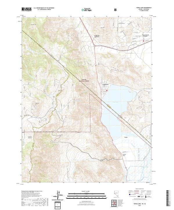
The Toiyabe National Forest blankets the high terrain where California and Nevada meet, a landscape defined by sharp elevation changes and critical water management. Centered on Topaz Lake, this modern survey illustrates the complex irrigation network supporting Antelope Valley, including the Topaz Canal, Wiley Ditch, and Alkali Ditch. These diversions from the West Walker River are essential to the agricultural history of the region.
Find a feature on this map
59 named features on this map. Tap any name to fly to it.
Don’t see what you’re looking for? This feature index may not catch every label — zoom into the map to look around manually.
Map Details
Date Portrayed2021
Date Published2021
PublisherU.S. Geological Survey
Map TypeTopographic
Scale1:24000
Physical Dimensions24 x 29 inches
Editions of this 2021 Topaz Lake Map
This is the sole edition of this map. No revisions or reprints were ever made.
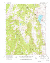
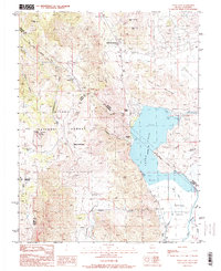
Historical Maps of Topaz Ranch Estates Through Time
3 maps found
Featured Locations
Source Details
SourceU.S. Geological Survey
CopyrightPublic Domain