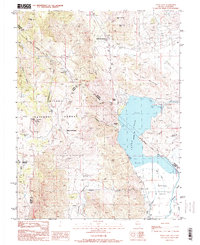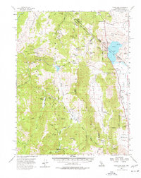
1956 Map of Topaz Lake
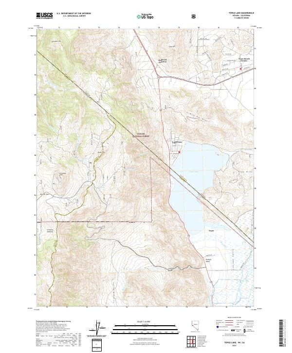
USGS Topo · Published 1977About this map
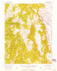
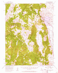
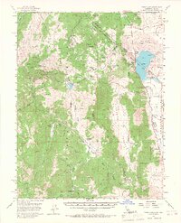
Topaz Lake straddles the California and Nevada border, serving as a primary focal point in this high-altitude landscape of the eastern Sierra Nevada. The region is defined by its deep mining history and complex water management, evidenced by the Leviathan Mine and several smaller operations like the Zaca Mine and Morningstar Mine tucked into the mountain canyons. The Von Schmidt Line of 1873 provides a distinct historical boundary marker across the terrain, reflecting the 19th-century surveying efforts to define the state line. Down in the valleys, small settlements such as Coleville and Topaz PO support the ranching and transit through Antelope Valley. Mountain infrastructure is also documented through features like the Radio Relay Sta atop Leviathan Peak and the Soda Springs Guard Sta within the Toiyabe National Forest, illustrating the mid-century intersection of resource extraction, forest management, and emerging communication networks.
Find a feature on this map
79 named features on this map. Tap any name to fly to it.
Don’t see what you’re looking for? This feature index may not catch every label — zoom into the map to look around manually.
Map Details
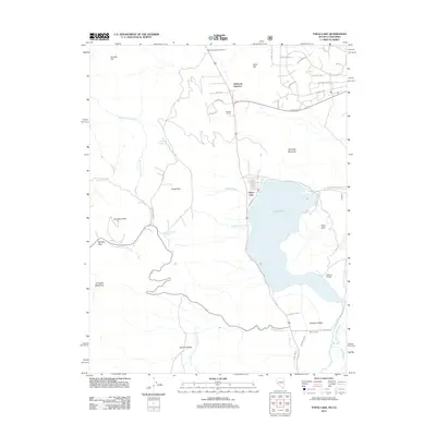
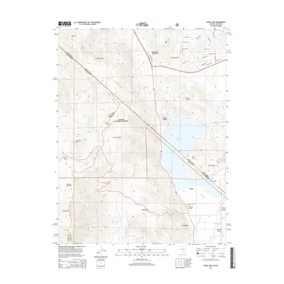
Editions of this 1956 Topaz Lake Map
4 editions found
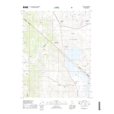
Historical Maps of Topaz Ranch Estates Through Time
6 maps found