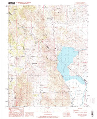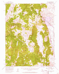
1956 Map of Topaz Lake
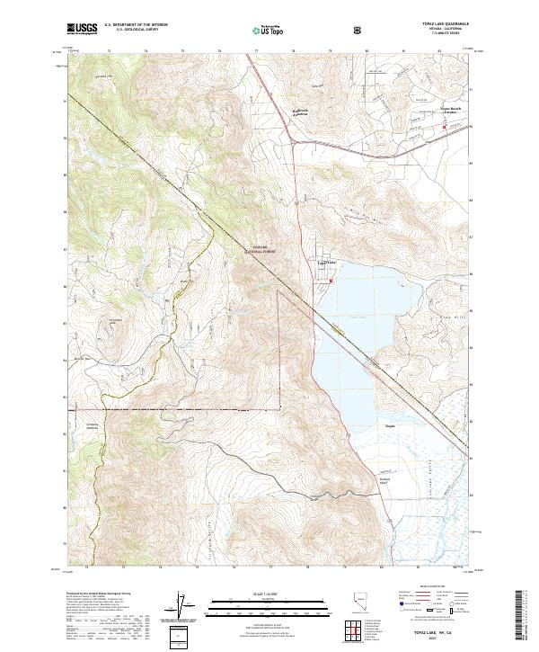
USGS Topo · Published 1961About this map
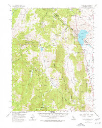
Topaz PO and Coleville serve as primary hubs in this high-desert basin near the California-Nevada border. This mid-century study reveals a landscape defined by the water management of Topaz Lake, noting areas of controlled inundation and the intricate network of the Walker River and Swager Ditch. The map details the transition from the steep terrain of the Toiyabe National Forest down into the Antelope Valley, where human settlement and irrigation concentrated. Early automotive travel is anchored by Holbrook Junc and Mountain House, marking key intersections for those navigating the eastern Sierra slope before the era of modern highway expansion.
Find a feature on this map
4 named features on this map. Tap any name to fly to it.
Don’t see what you’re looking for? This feature index may not catch every label — zoom into the map to look around manually.
Map Details
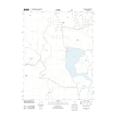
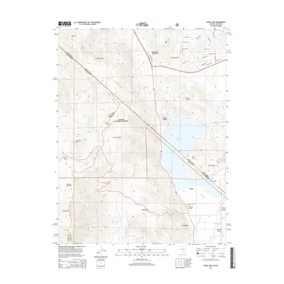
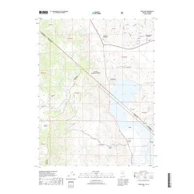
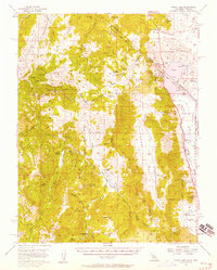
Editions of this 1956 Topaz Lake Map
4 editions found
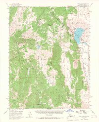
Historical Maps of Topaz Ranch Estates Through Time
6 maps found