
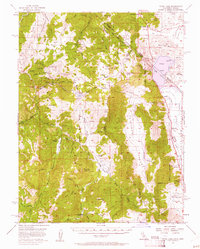
1956 Map of Topaz Lake
USGS Topo · Published 1958About this map
Mining operations and high-altitude ranching define this mid-century survey of the rugged borderlands where California meets Nevada. The landscape is marked by industrial activity at the Leviathan Mine and several smaller claims like the Zaca Mine and Golden Gate Mine, while the East Fork Carson River and West Walker River carve deep routes through the Toiyabe National Forest. The presence of the Von Schmidt Line traces the historical boundary between the two states, cutting across the southern end of Topaz Lake. Remote camps and stations, including the Soda Springs Guard Sta and Vaquero Camp, suggest a territory managed for timber and grazing. Small crossroads like Holbrook Junc and the community at Coleville provide the primary points of habitation along the eastern valley floors, connected by the emerging infrastructure of Topaz Lane.
Find a feature on this map
82 named features on this map. Tap any name to fly to it.
Don’t see what you’re looking for? This feature index may not catch every label — zoom into the map to look around manually.
Map Details
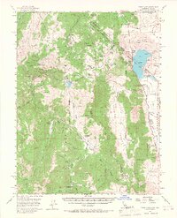
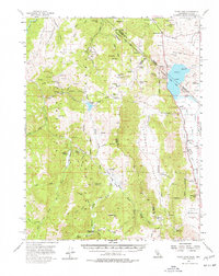
Editions of this 1956 Topaz Lake Map
4 editions found
Other maps of this area

1889 · Markleeville
USGS Topo · 1:125,000

1891 · Markleeville
USGS Topo · 1:125,000

1891 · Wellington
USGS Topo · 1:125,000

1893 · Markleeville
USGS Topo · 1:125,000

1893 · Wellington
USGS Topo · 1:125,000

1896 · Dardanelles
USGS Topo · 1:125,000

1898 · Dardanelles
USGS Topo · 1:125,000

1909 · Bridgeport
USGS Topo · 1:125,000

1911 · Bridgeport
USGS Topo · 1:125,000

1920 · Bridgeport
USGS Topo · 1:125,000