Loading...
Loading map...2022 Map of Topeka
USGS Topo · Published 2022About this map
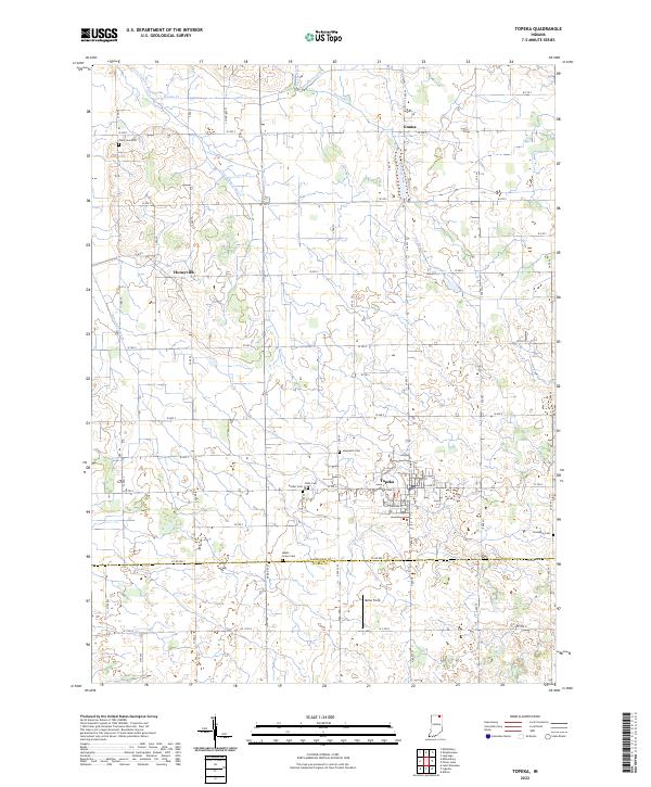
Topeka serves as the central hub of this northern Indiana landscape, where the grid of Co RD 800 S and Indiana St meets a complex network of agricultural drainage and natural waterways. The geography is defined by the Little Elkhart River and its various tributaries, including Emma Creek and Farver Ditch, which dictate the placement of rural settlements like Honeyville and Emma.
Find a feature on this map
28 named features on this map. Tap any name to fly to it.
Don’t see what you’re looking for? This feature index may not catch every label — zoom into the map to look around manually.
Map Details
Date Portrayed2022
Date Published2022
PublisherU.S. Geological Survey
Map TypeTopographic
Scale1:24000
Physical Dimensions24 x 29 inches
Editions of this 2022 Topeka Map
This is the sole edition of this map. No revisions or reprints were ever made.
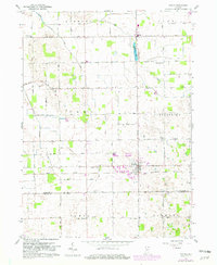
Historical Maps of Emma Through Time
Featured Locations
Source Details
SourceU.S. Geological Survey
CopyrightPublic Domain