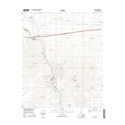
2014 Map of Topock
USGS Topo · Published 2014About this map
The Colorado River defines the border between Arizona and California on this map, cutting through the dramatic landscape of Mohave Canyon and Topock Gorge. At the center of the river's path is the settlement of Topock, where the Red Rock Bridge once served as a vital crossing point for travelers. The terrain is marked by distinctive geological formations such as The Needles, Pulpit Rock, and Cathedral Rock, which flank the narrow passage of the river south of Topock Bay.
Find a feature on this map
37 named features on this map. Tap any name to fly to it.
Don’t see what you’re looking for? This feature index may not catch every label — zoom into the map to look around manually.
Map Details
Editions of this 2014 Topock Map
This is the sole edition of this map. No revisions or reprints were ever made.
Other maps of this area

1903 · Needles
USGS Topo · 1:125,000

1904 · Needles Special
USGS Topo · 1:125,000

1943 · Topock
USGS Topo · 1:62,500

1950 · Topock
USGS Topo · 1:62,500

1950 · Sawtooth Range
USGS Topo · 1:62,500

1950 · Needles
USGS Topo · 1:62,500

1951 · Topock
USGS Topo · 1:62,500

1951 · Sawtooth Range
USGS Topo · 1:62,500

1952 · Needles
USGS Topo · 1:62,500

1954 · Needles
USGS Topo · 1:250,000