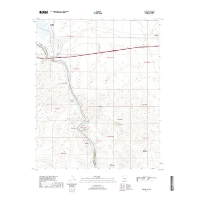
2018 Map of Topock
USGS Topo · Published 2018About this map
The Colorado River carves a path through the borderlands of Arizona and California in this detailed 2018 survey. The landscape is defined by the narrow passage of Topock Gorge, where the water is flanked by striking geological formations such as Cathedral Rock, Pulpit Rock, and Split Rock. Near the northern end of this corridor, the settlement of Topock sits adjacent to the Mohave Valley, serving as a critical crossing point marked by the Red Rock Bridge.
Find a feature on this map
40 named features on this map. Tap any name to fly to it.
Don’t see what you’re looking for? This feature index may not catch every label — zoom into the map to look around manually.
Map Details
Editions of this 2018 Topock Map
This is the sole edition of this map. No revisions or reprints were ever made.
Other maps of this area

1903 · Needles
USGS Topo · 1:125,000

1904 · Needles Special
USGS Topo · 1:125,000

1943 · Topock
USGS Topo · 1:62,500

1950 · Topock
USGS Topo · 1:62,500

1950 · Sawtooth Range
USGS Topo · 1:62,500

1950 · Needles
USGS Topo · 1:62,500

1951 · Topock
USGS Topo · 1:62,500

1951 · Sawtooth Range
USGS Topo · 1:62,500

1952 · Needles
USGS Topo · 1:62,500

1954 · Needles
USGS Topo · 1:250,000