2022 Map of Tornillo
USGS Topo · Published 2022About this map
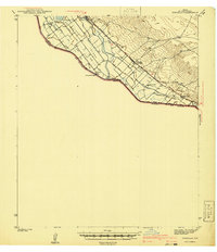
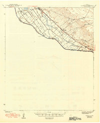
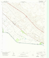
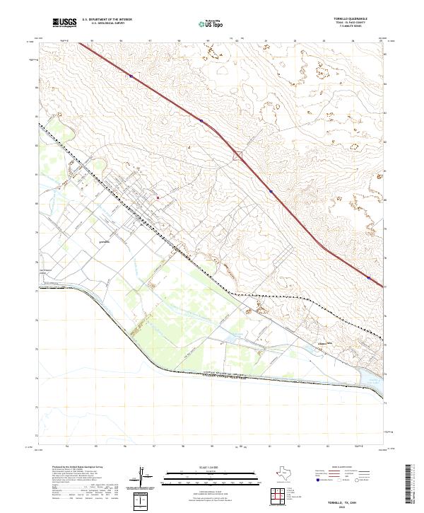
Irrigation infrastructure and international boundaries define this corner of the El Paso Valley, where the Rio Grande serves as the dividing line between the United States of America and Mexico. The community of Tornillo sits within a complex network of water management features, including the Tornillo Canal and the Border Intercepting Drain, which support the agricultural economy of the region. To the southeast, the settlement of Alamo Alto is situated near the County Line Lakes and the Alamo Alto Drain.
Find a feature on this map
52 named features on this map. Tap any name to fly to it.
Don’t see what you’re looking for? This feature index may not catch every label — zoom into the map to look around manually.
Map Details
Editions of this 2022 Tornillo Map
This is the sole edition of this map. No revisions or reprints were ever made.
Historical Maps of Tornillo Through Time
5 maps found