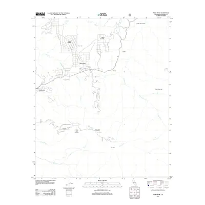
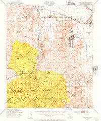
2012 Map of Toro Peak
USGS Topo · Published 2012About this map
Toro Peak and Santa Rosa Mountain dominate this high-desert landscape in the San Jacinto Mountains. The area's mid-century residential pockets, including Pinyon Pines, Pinyon Crest, and Spring Crest, are linked by State Route 74, which winds through the terrain at Big Horn Overlook. For those interested in the recreational development of the national forest, the map documents several designated sites such as the Pinyon Flat Campground and Santa Rosa Campground.
Find a feature on this map
60 named features on this map. Tap any name to fly to it.
Don’t see what you’re looking for? This feature index may not catch every label — zoom into the map to look around manually.
Map Details
Editions of this 2012 Toro Peak Map
This is the sole edition of this map. No revisions or reprints were ever made.
Other maps of this area

1901 · Southern California Sheet No. 1
USGS Topo · 1:250,000
1901 · San Jacinto
USGS Topo · 1:125,000
1903 · Ramona
USGS Topo · 1:125,000
1904 · Indio
USGS Topo · 1:125,000
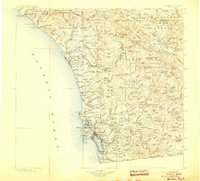
1904 · Southern California Sheet No. 2
USGS Topo · 1:250,000

1904 · Southern California Sheet No. 1
USGS Topo · 1:250,000
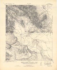
1931 · Vallecito
USGS Topo · 1:125,000
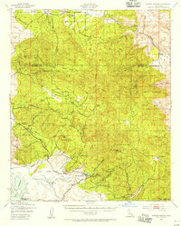
1939 · Warner Springs
USGS Topo · 1:62,500
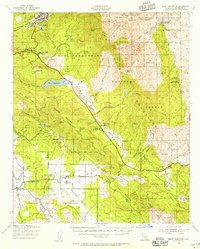
1940 · Hemet Reservoir
USGS Topo · 1:62,500
1941 · Toro Peak
USGS Topo · 1:62,500