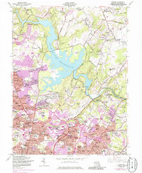
1944 Map of Towson
USGS Topo · Published 1944About this map
Loch Raven Reservoir dominates the landscape of central Baltimore County, serving as a massive water catchment surrounded by small villages and specialized institutions. During this mid-century period, the area around Towson functioned as a hub for education and healthcare, anchored by Goucher College, the Maryland State Teachers College, and the sprawling grounds of the Sheppard Pratt Memorial Hospital. The road network, including the winding Dulaney Valley Road, connects established settlements like Lutherville and Timonium to the rural northeastern reaches of Long Green and Glenarm. A distinct pocket of recreation and public works is visible along the Gunpowder Falls, where the Loch Raven Dam and the Gunpowder Rifle Range sit near the Pennsylvania railroad line. Local history is deeply etched into the map through numerous family-named landmarks and unusual features like the Oakleigh Pet Cemetery.
Find a feature on this map
68 named features on this map. Tap any name to fly to it.
Don’t see what you’re looking for? This feature index may not catch every label — zoom into the map to look around manually.
Map Details
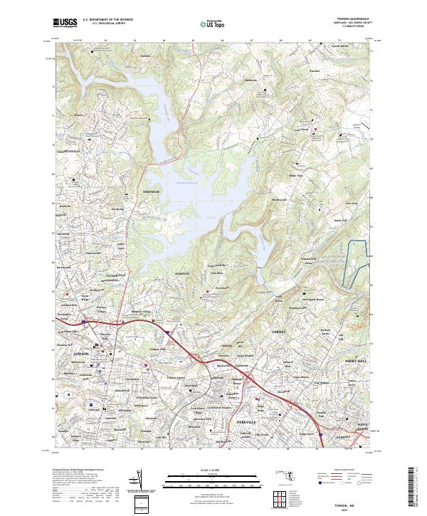
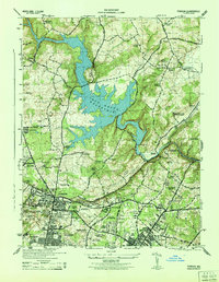
Editions of this 1944 Towson Map
2 editions found
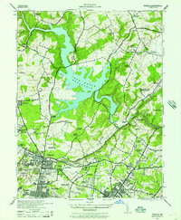
Historical Maps of Knollwood Donnybrook Through Time
3 maps found