Loading...
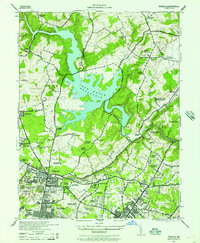
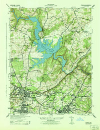
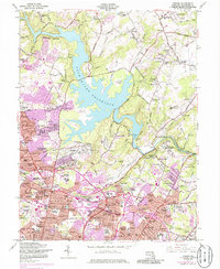
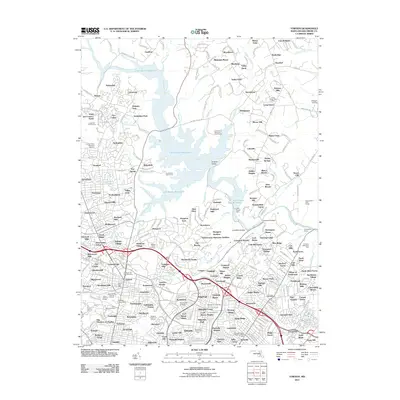
Loading map...1944 Map of Towson
USGS Topo · Published 1957About this map
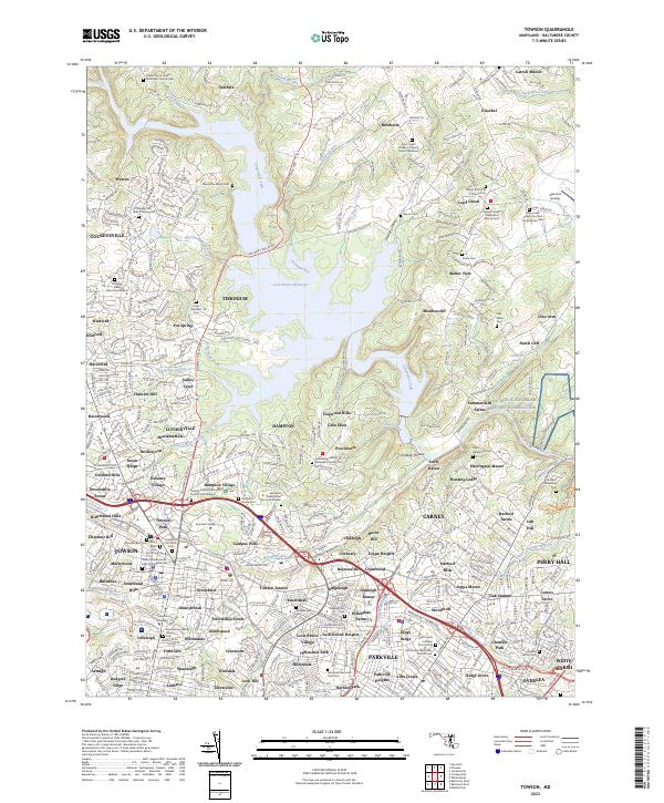
Loch Raven Reservoir dominates the northern landscape of this Baltimore County survey, its irregular shoreline reaching into Dulaney Valley. The area is characterized by a high concentration of institutional landmarks and educational centers, reflecting the mid-century development of Towson as a major regional hub. Key academic sites like Goucher College and the Maryland State Teachers College sit alongside sprawling healthcare and social facilities such as the Sheppard Pratt Memorial Hospital and the Eudowood Sanatorium.
Find a feature on this map
81 named features on this map. Tap any name to fly to it.
Don’t see what you’re looking for? This feature index may not catch every label — zoom into the map to look around manually.
Map Details
Date Portrayed1944
Date Published1957
PublisherU.S. Geological Survey
Map TypeTopographic
Scale1:24,000
Physical Dimensions22.1 x 26.8 inches
Editions of this 1944 Towson Map
2 editions found
Historical Maps of Towson Through Time
7 maps found
Featured Locations
Source Details
SourceU.S. Geological Survey
CopyrightPublic Domain