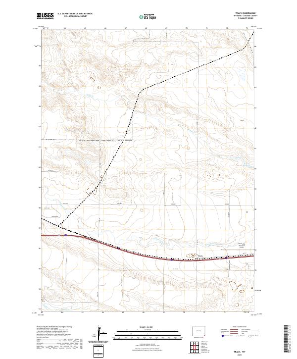
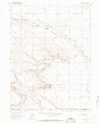
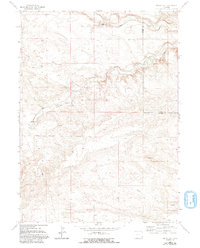
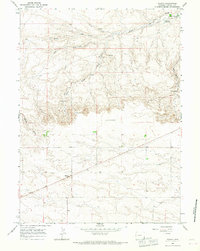
2021 Map of Tracy
USGS Topo · Published 2021About this map
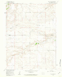
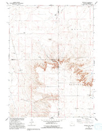
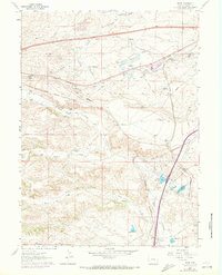
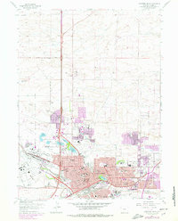
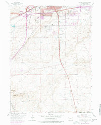
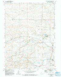
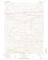
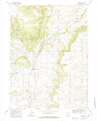
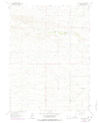
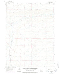
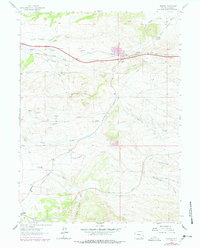
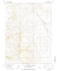
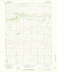
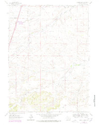
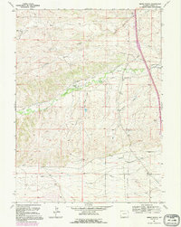
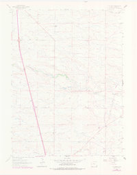
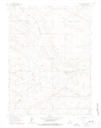
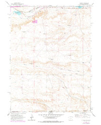
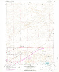
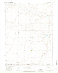
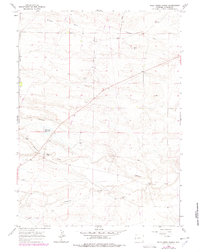
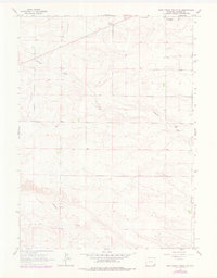
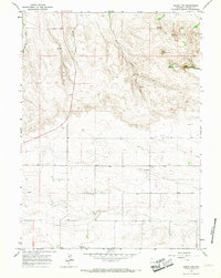
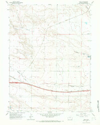
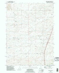
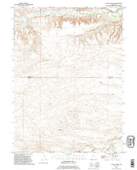
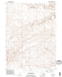
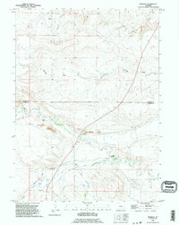
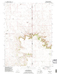
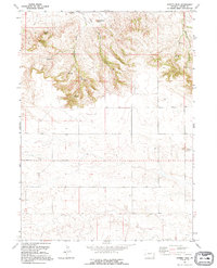
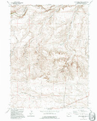
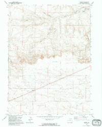
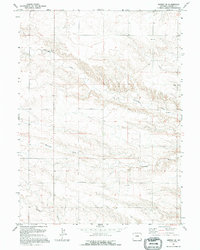
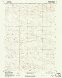
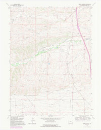
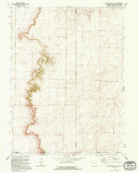
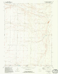
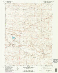
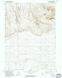
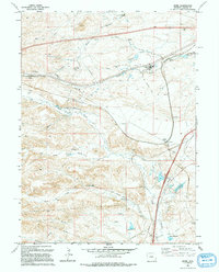
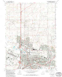
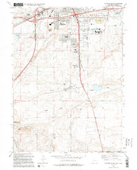
Tracy and the surrounding Laramie County high plains are defined by the convergence of vital transportation and water routes. The landscape is carved by seasonal drainages such as Chivington Draw and Spring Cr, while the perennial Lodgepole Cr flows through the southern portion of the quadrangle. Agricultural infrastructure is evident in the presence of the Kent Ditch and the Wisroth Reservoir in the eastern hills. The community of Tracy sits at the junction of modern infrastructure and traditional routes, including the Old Hwy. Further east, the Pine Bluffs Municipal Airport serves as a modern landmark in this expansive grazing and farming territory. The survey reveals a grid of rural roads like Pelton Rd and Wild Prairie Ln that navigate the varied terrain of the eastern Wyoming prairie.
Find a feature on this map
28 named features on this map. Tap any name to fly to it.
Don’t see what you’re looking for? This feature index may not catch every label — zoom into the map to look around manually.
Map Details
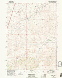
Editions of this 2021 Tracy Map
This is the sole edition of this map. No revisions or reprints were ever made.
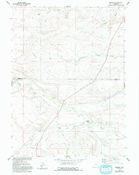
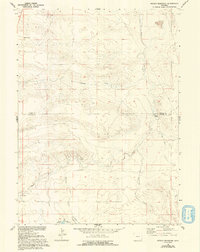
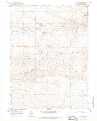
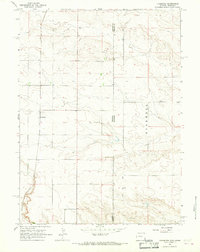
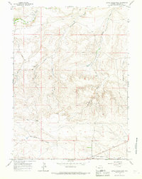
Historical Maps of Tracy Through Time
117 maps found
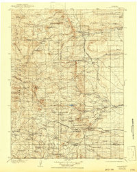
1905 Sherman
Laramie County, WY
1960 Meriden
Laramie County, WY
1960 Petsch Reservoir
Laramie County, WY
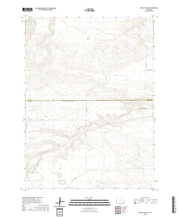
1960 Rocky Hollow
Laramie County, WY
1960 Tremain
Laramie County, WY
1961 Borie
Laramie County, WY
1961 Cheyenne North
Laramie County, WY
1961 Cheyenne South
Laramie County, WY
1961 Round Top Lake
Laramie County, WY
1962 Bristol Ridge
Laramie County, WY
1962 Dereemer Ranch
Laramie County, WY
1962 Emkay
Laramie County, WY
1962 Farthing
Laramie County, WY
1962 Farthing Ranch
Laramie County, WY
1962 Federal
Laramie County, WY
1962 Granite
Laramie County, WY
1962 Hecla
Laramie County, WY
1962 Hirsig Ranch
Laramie County, WY
1962 Horse Creek
Laramie County, WY
1962 Islay
Laramie County, WY
1962 Lewis Ranch
Laramie County, WY
1962 Moffett Ranch
Laramie County, WY
1962 Nimmo Ranch
Laramie County, WY
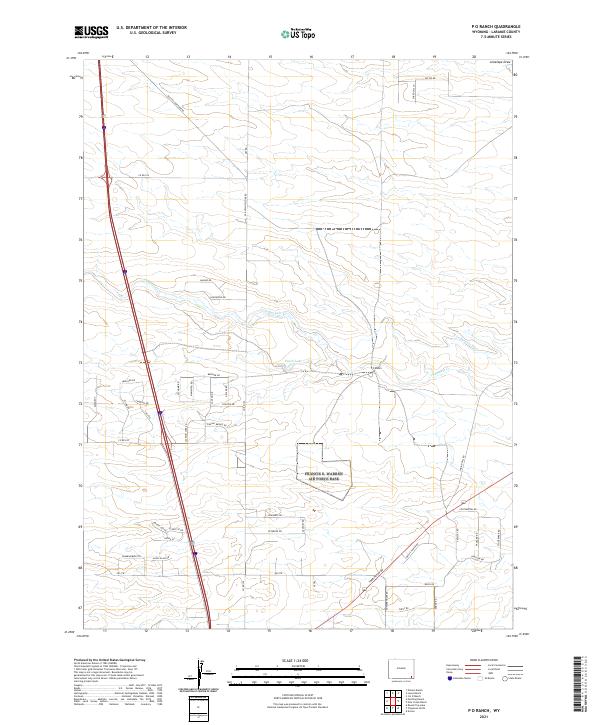
1962 P O Ranch
Laramie County, WY
1962 Silver Crown
Laramie County, WY
1963 Altvan
Laramie County, WY
1963 Archer
Laramie County, WY
1963 Arcola
Laramie County, WY
1963 Campstool
Laramie County, WY

1963 Cattail Ranch
Laramie County, WY
1963 Durham
Laramie County, WY
1963 Gurney Peak
Laramie County, WY
1963 Indian Hill
Laramie County, WY
1963 J H D Ranch
Laramie County, WY
1963 Lindbergh
Laramie County, WY
1963 Little Indian Draw
Laramie County, WY
1963 Midway
Laramie County, WY
1963 Midway SE
Laramie County, WY
1963 Midway SW
Laramie County, WY
1963 Pine Bluffs SE
Laramie County, WY
1963 Pine Bluffs SW
Laramie County, WY
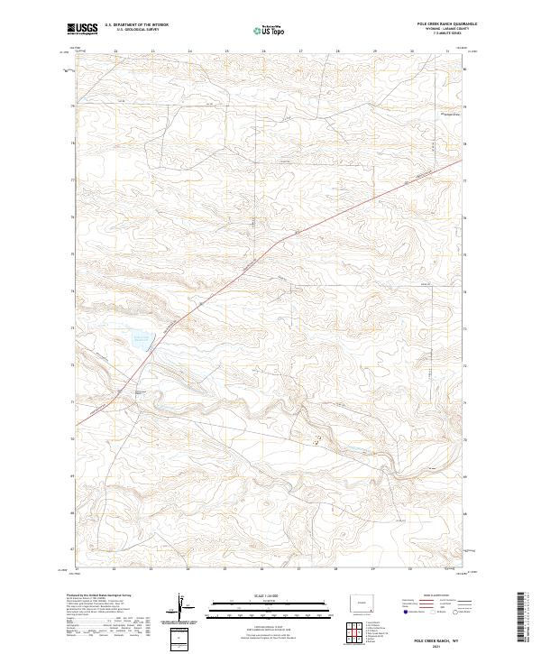
1963 Pole Creek Ranch
Laramie County, WY
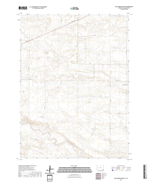
1963 Pole Creek Ranch SE
Laramie County, WY
1963 Round Top
Laramie County, WY
1963 Tracy
Laramie County, WY
1990 Bristol Ridge
Laramie County, WY
1990 Cattail Ranch
Laramie County, WY
1990 Indian Hill
Laramie County, WY
1990 Meriden
Laramie County, WY
1990 Moffett Ranch
Laramie County, WY
1990 Petsch Reservoir
Laramie County, WY
1990 Rocky Hollow
Laramie County, WY
1990 Tremain
Laramie County, WY
1991 Albin SW
Laramie County, WY
1991 Arcola
Laramie County, WY
1991 Farthing Ranch
Laramie County, WY
1991 Gurney Peak
Laramie County, WY
1991 J H D Ranch
Laramie County, WY
1991 Lewis Ranch
Laramie County, WY
1991 Lindbergh
Laramie County, WY
1991 Little Indian Draw
Laramie County, WY
1991 Midway
Laramie County, WY
1991 Midway SE
Laramie County, WY
1991 Midway SW
Laramie County, WY
1991 Nimmo Ranch
Laramie County, WY
1991 Pine Bluffs SE
Laramie County, WY
1991 Pine Bluffs SW
Laramie County, WY
1991 Pole Creek Ranch
Laramie County, WY
1991 Round Top
Laramie County, WY
1994 Borie
Laramie County, WY
1994 Cheyenne North
Laramie County, WY
1994 Cheyenne South
Laramie County, WY
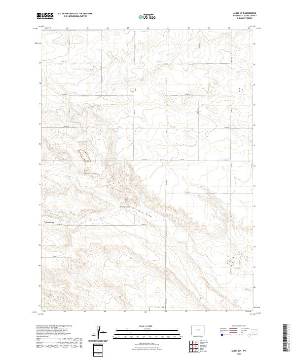
2021 Albin SW
Laramie County, WY
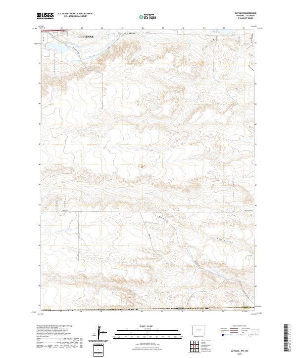
2021 Altvan
Laramie County, WY
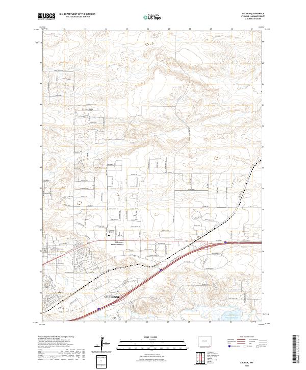
2021 Archer
Laramie County, WY
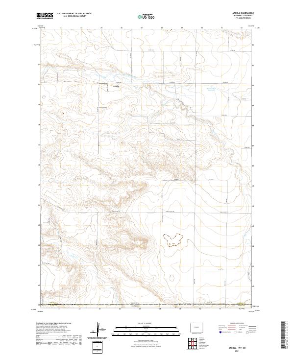
2021 Arcola
Laramie County, WY
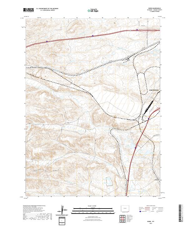
2021 Borie
Laramie County, WY
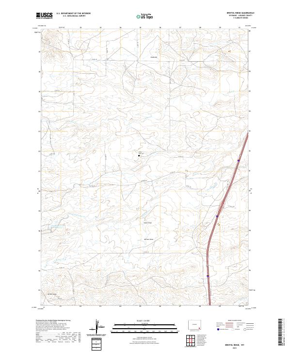
2021 Bristol Ridge
Laramie County, WY
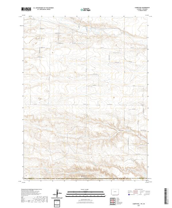
2021 Campstool
Laramie County, WY
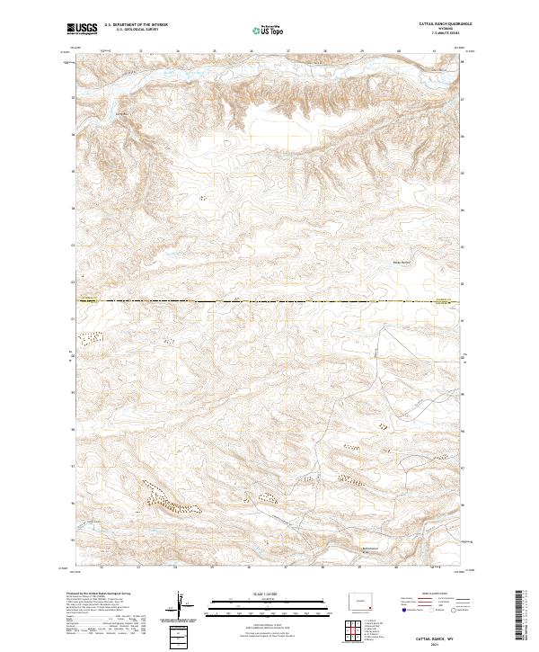
2021 Cattail Ranch
Laramie County, WY
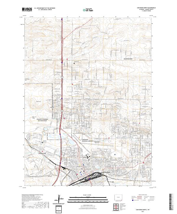
2021 Cheyenne North
Laramie County, WY
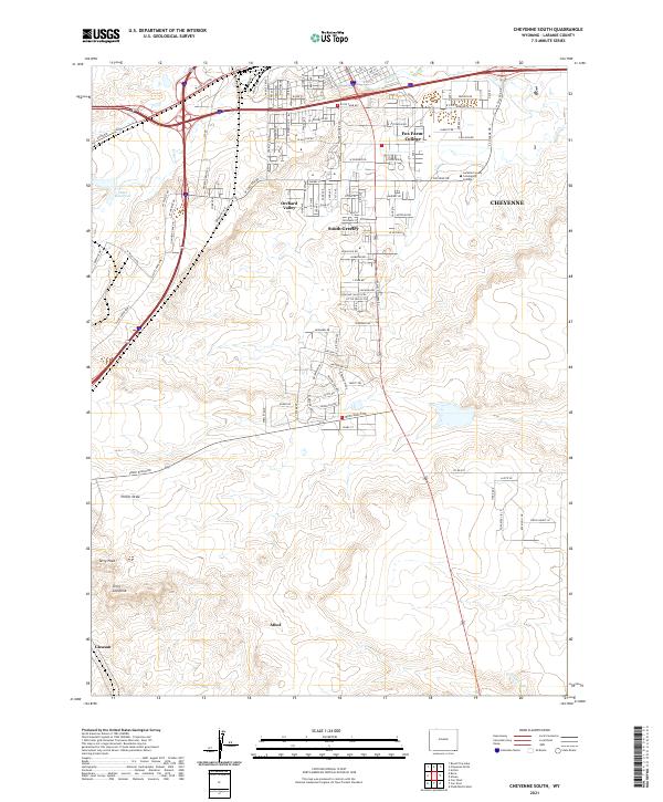
2021 Cheyenne South
Laramie County, WY
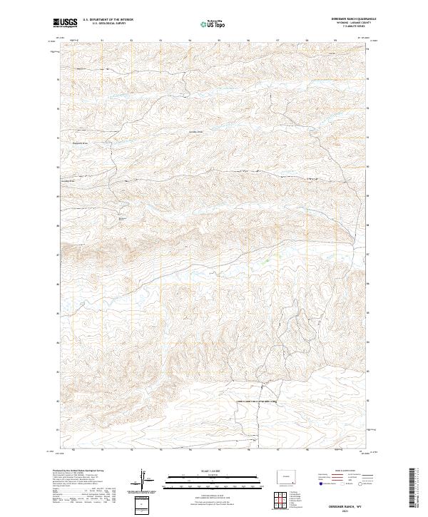
2021 Dereemer Ranch
Laramie County, WY
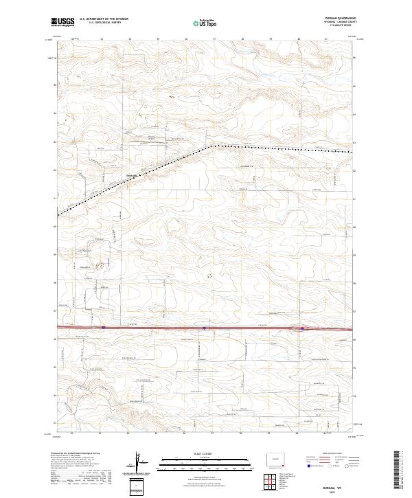
2021 Durham
Laramie County, WY
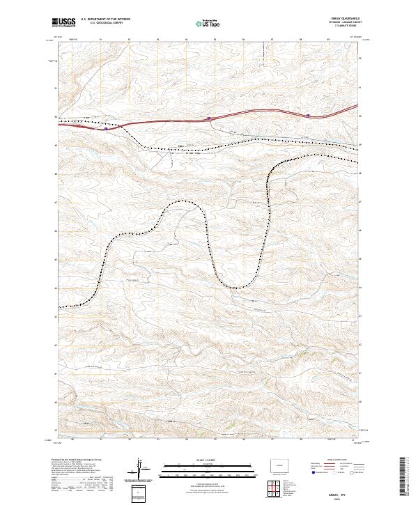
2021 Emkay
Laramie County, WY
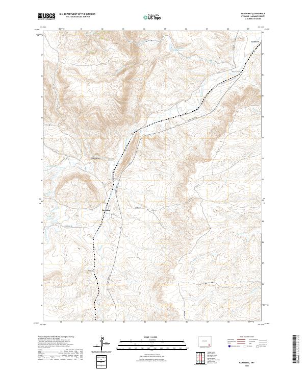
2021 Farthing
Laramie County, WY
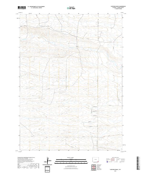
2021 Farthing Ranch
Laramie County, WY
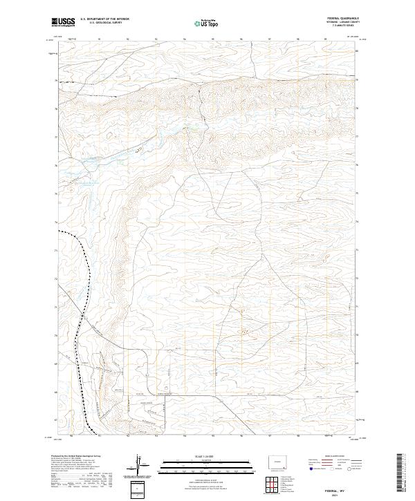
2021 Federal
Laramie County, WY
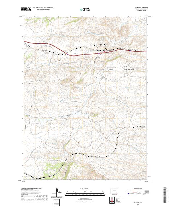
2021 Granite
Laramie County, WY
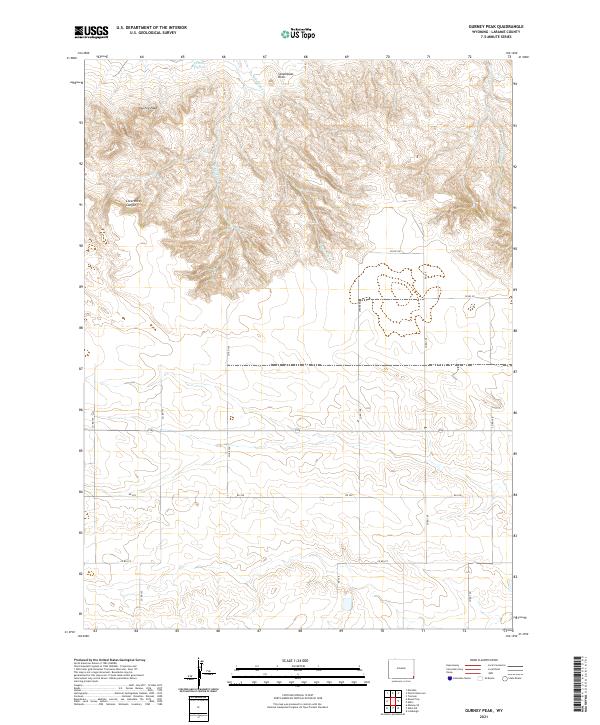
2021 Gurney Peak
Laramie County, WY
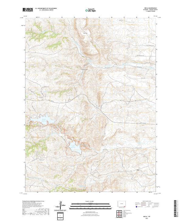
2021 Hecla
Laramie County, WY
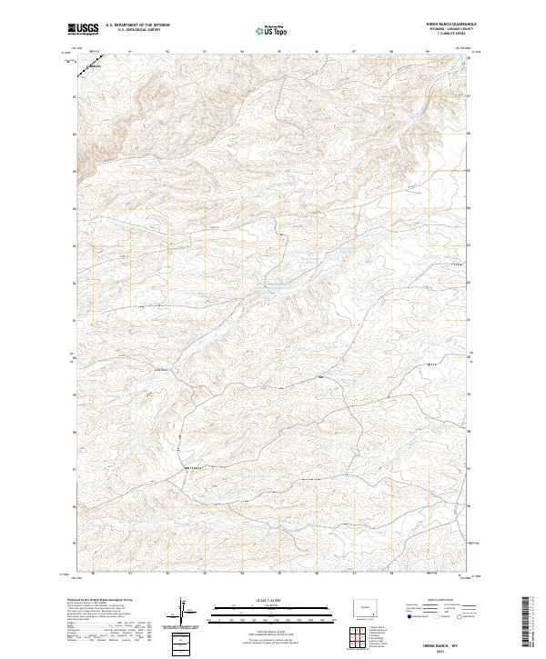
2021 Hirsig Ranch
Laramie County, WY
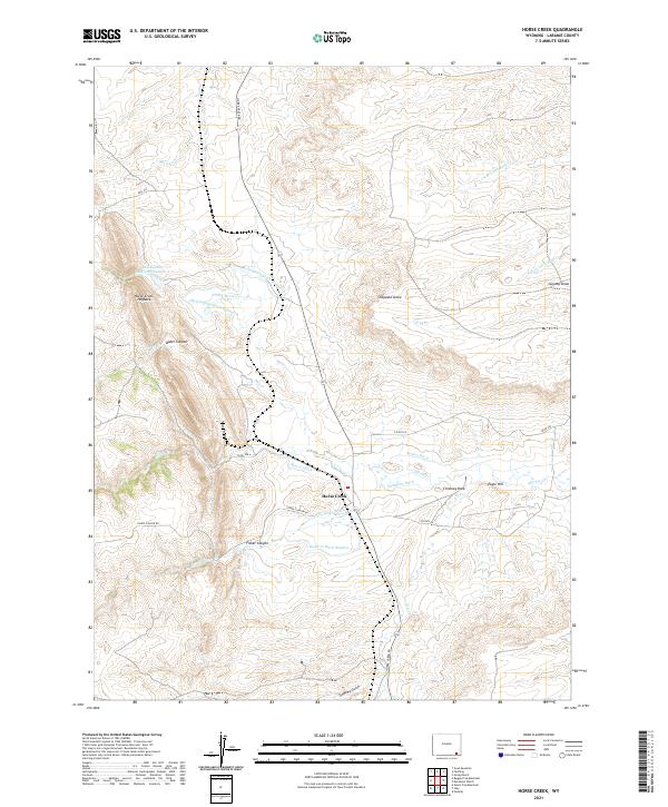
2021 Horse Creek
Laramie County, WY
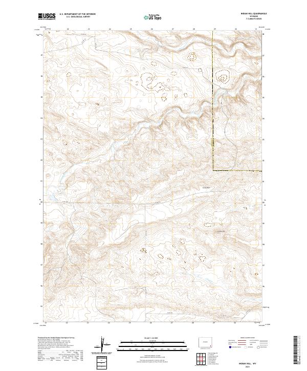
2021 Indian Hill
Laramie County, WY
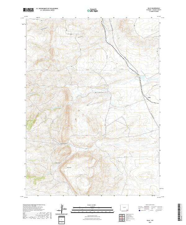
2021 Islay
Laramie County, WY
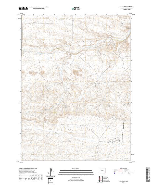
2021 J H D Ranch
Laramie County, WY
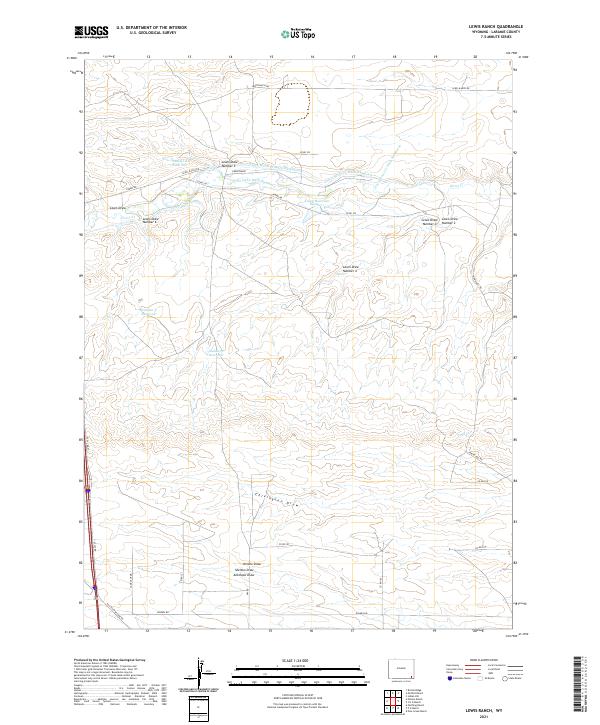
2021 Lewis Ranch
Laramie County, WY
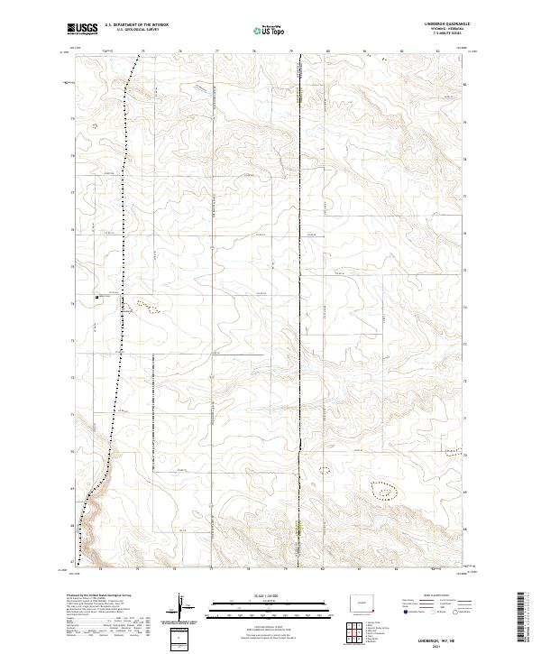
2021 Lindbergh
Laramie County, WY
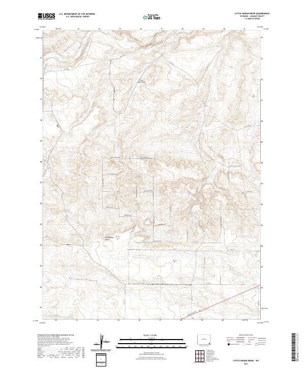
2021 Little Indian Draw
Laramie County, WY
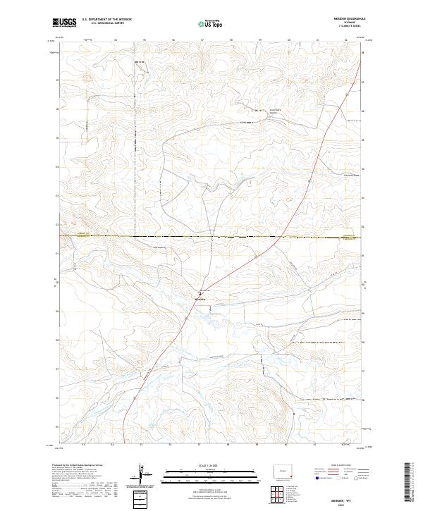
2021 Meriden
Laramie County, WY
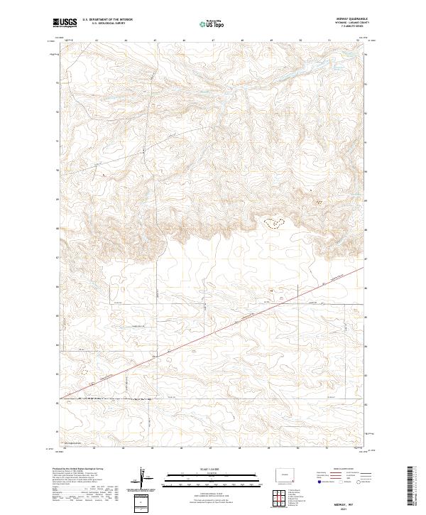
2021 Midway
Laramie County, WY
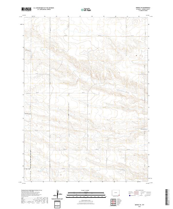
2021 Midway SE
Laramie County, WY
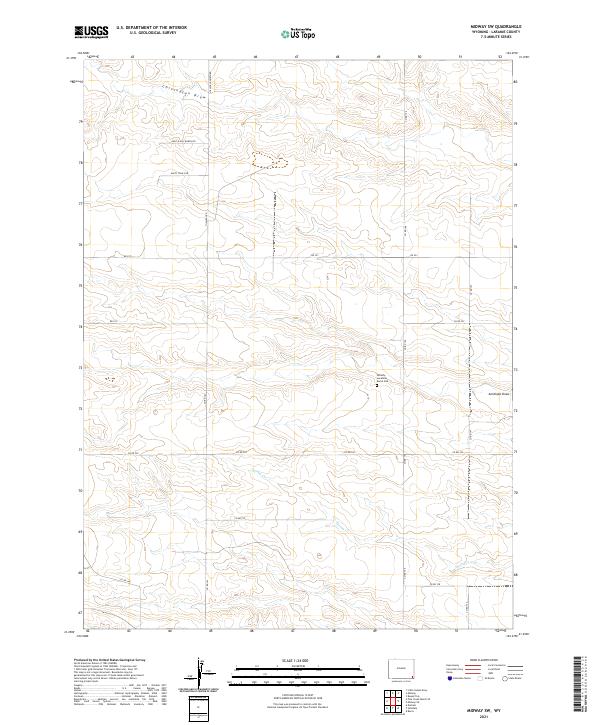
2021 Midway SW
Laramie County, WY
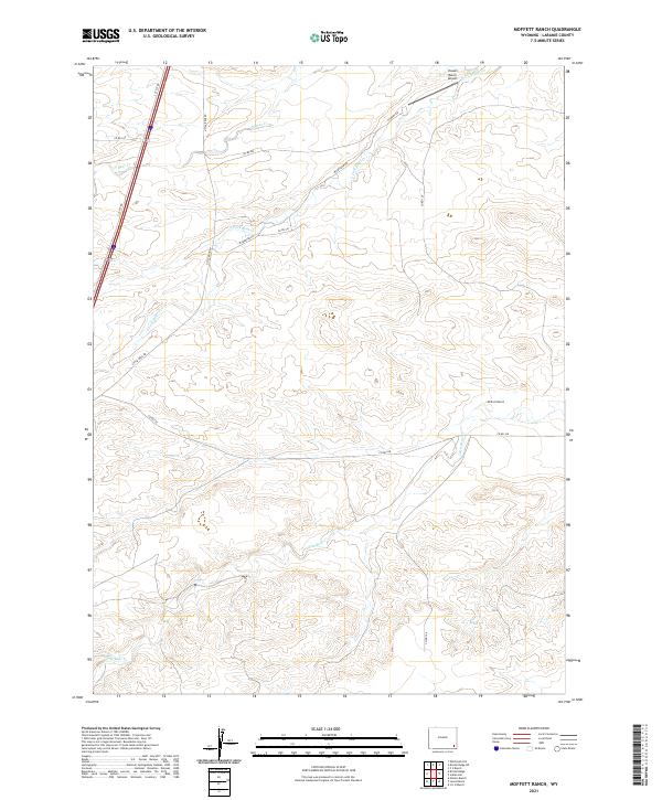
2021 Moffett Ranch
Laramie County, WY
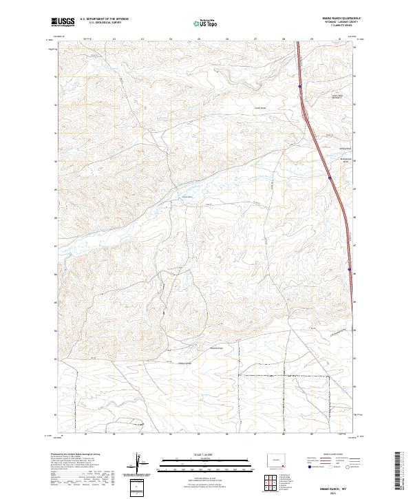
2021 Nimmo Ranch
Laramie County, WY
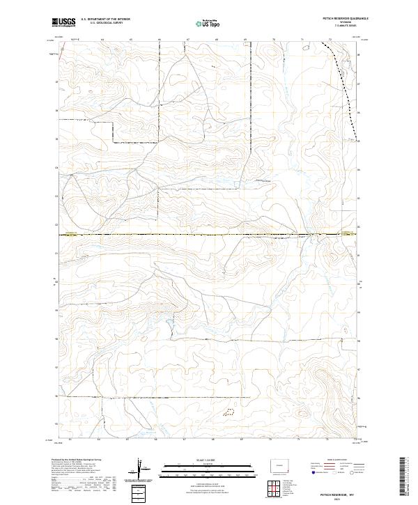
2021 Petsch Reservoir
Laramie County, WY
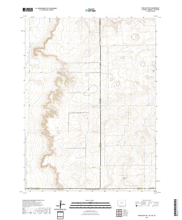
2021 Pine Bluffs SE
Laramie County, WY
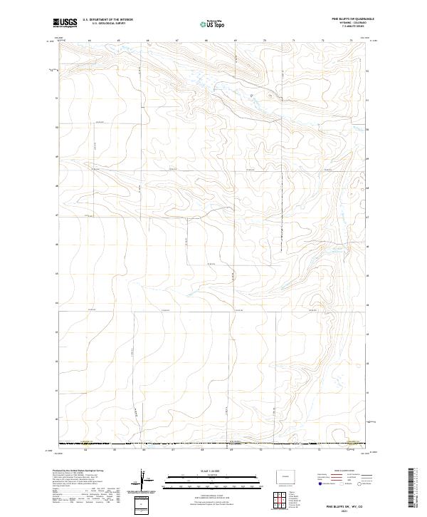
2021 Pine Bluffs SW
Laramie County, WY
2021 Pole Creek Ranch
Laramie County, WY
2021 Pole Creek Ranch SE
Laramie County, WY
2021 P O Ranch
Laramie County, WY
2021 Rocky Hollow
Laramie County, WY
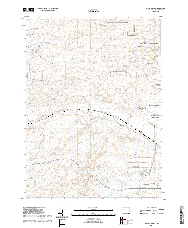
2021 Round Top Lake
Laramie County, WY
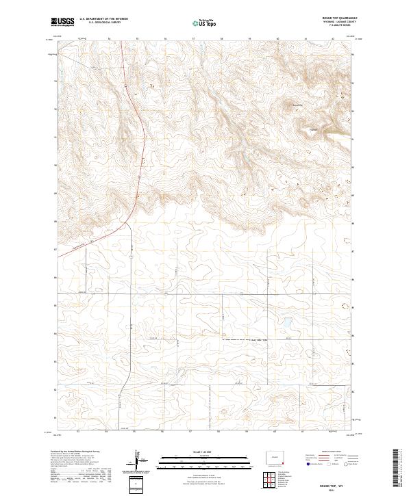
2021 Round Top
Laramie County, WY
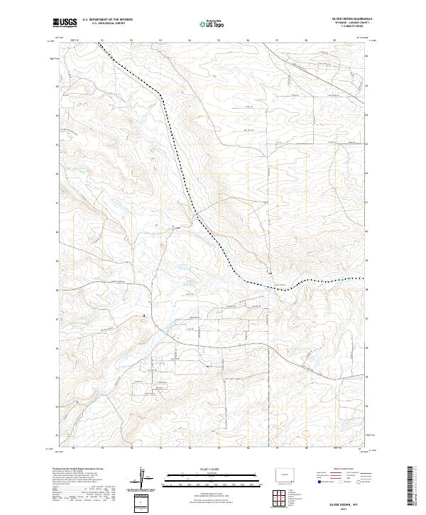
2021 Silver Crown
Laramie County, WY
2021 Tracy
Laramie County, WY
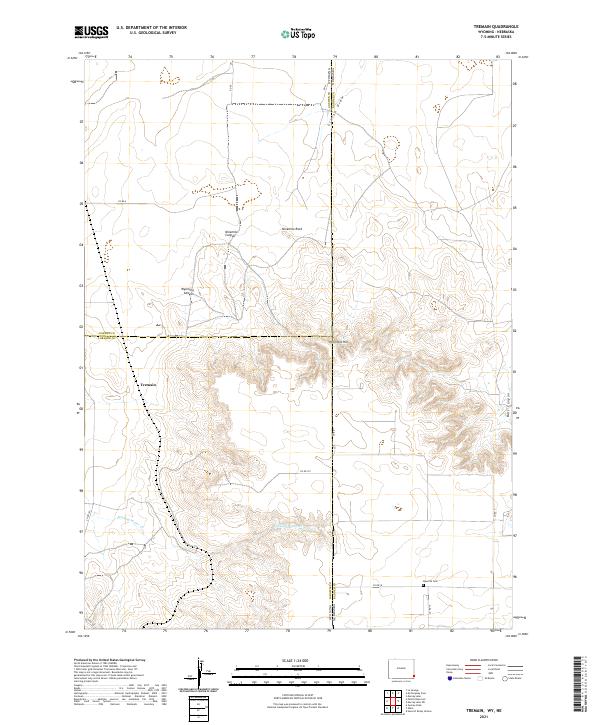
2021 Tremain
Laramie County, WY