
1963 Map of Midway SE
USGS Topo · Published 1967About this map
Pleasantview Ch stands as a central landmark in this high plains landscape of Laramie County, captured during a 1963 field check. The terrain is defined by a series of significant drainage patterns, most notably Chivington Draw and Antelope Draw, which carve through the topography alongside Spring Creek. These seasonal watercourses dictate the character of the ranching country, where the vast open spaces are punctuated by occasional industrial sites like a Gravel Pit and isolated water sources such as a marked Well. This survey illustrates the spatial relationship between sparse rural infrastructure and the natural hydraulic features of the Wyoming plains, providing a clear record of the area's development before more modern shifts in land use and road networks took hold.
Find a feature on this map
6 named features on this map. Tap any name to fly to it.
Don’t see what you’re looking for? This feature index may not catch every label — zoom into the map to look around manually.
Map Details
Editions of this 1963 Midway SE Map
This is the sole edition of this map. No revisions or reprints were ever made.
Other maps of this area

1954 · Cheyenne
USGS Topo · 1:250,000

1958 · Cheyenne
USGS Topo · 1:250,000

1963 · Burns
USGS Topo · 1:24,000

1963 · Midway
USGS Topo · 1:24,000
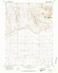
1963 · Round Top
USGS Topo · 1:24,000

1963 · Midway SW
USGS Topo · 1:24,000
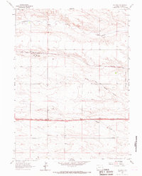
1963 · Hillsdale
USGS Topo · 1:24,000

1963 · Gurney Peak
USGS Topo · 1:24,000

1963 · Tracy
USGS Topo · 1:24,000
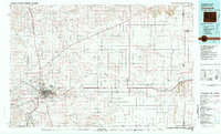
1981 · Cheyenne
USGS Topo · 1:100,000