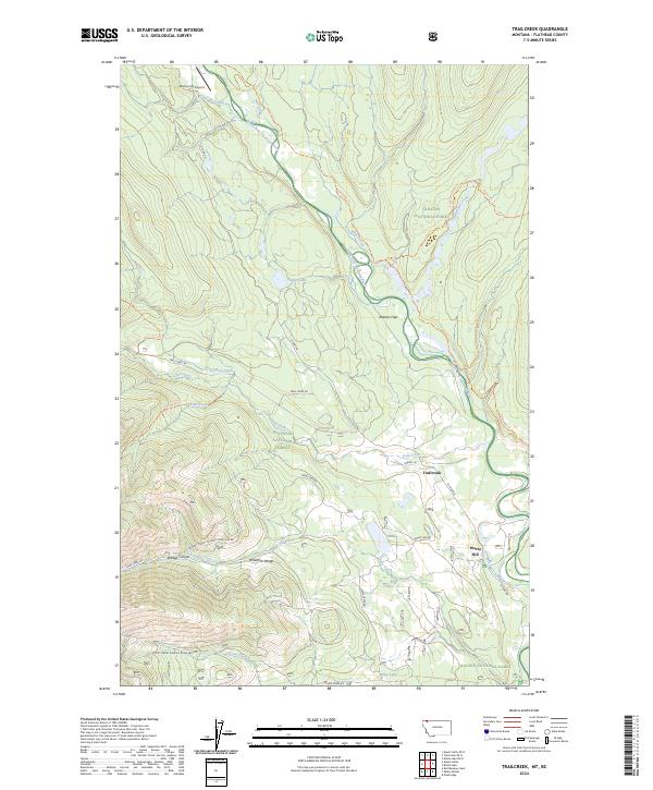
2024 Map of Trailcreek
USGS Topo · Published 2024About this map
The North Fork Flathead River serves as a natural corridor through this northern landscape, winding past Abbotts Flats and defining the boundary between two expansive protected areas. The western portion of the map is dominated by the Flathead National Forest and the peaks of the Whitefish Range, while the eastern terrain transitions into Glacier National Park. This area is characterized by a network of drainage systems including Sage Creek, Kishanehn Creek, and Trail Creek.
Find a feature on this map
44 named features on this map. Tap any name to fly to it.
Don’t see what you’re looking for? This feature index may not catch every label — zoom into the map to look around manually.
Map Details
Editions of this 2024 Trailcreek Map
This is the sole edition of this map. No revisions or reprints were ever made.
Other maps of this area

1906 · Kintla Lakes
USGS Topo · 1:125,000

1913 · Stryker
USGS Topo · 1:125,000

1916 · Stryker
USGS Topo · 1:125,000

1938 · Kintla Lakes
USGS Topo · 1:125,000

1957 · Kalispell
USGS Topo · 1:250,000

1960 · Kalispell
USGS Topo · 1:250,000

1961 · Kalispell
USGS Topo · 1:250,000

1966 · Red Meadow Lake
USGS Topo · 1:24,000

1966 · Kintla Lake
USGS Topo · 1:24,000

1966 · Mount Hefty
USGS Topo · 1:24,000