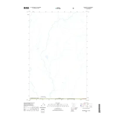
2020 Map of Trailcreek OE N
USGS Topo · Published 2020About this map
The Flathead Wild and Scenic River defines the southern boundary of this remote wilderness area where the international border separates Montana from British Columbia. This 2020 survey reveals an unpopulated landscape of high-elevation drainages and natural waterways at the very northern edge of the lower forty-eight states. The map captures the meeting point of significant protected lands, including the Flathead National Forest and the northwestern corner of Glacier National Park. The terrain is characterized by the complex hydrography of the Elk Valley region, where several unnamed tributaries flow toward the Flathead system. This document is a primary reference for understanding the modern boundary between the Canada United States of America border and these expansive federal preserves.
Find a feature on this map
5 named features on this map. Tap any name to fly to it.
Don’t see what you’re looking for? This feature index may not catch every label — zoom into the map to look around manually.
Map Details
Editions of this 2020 Trailcreek OE N Map
This is the sole edition of this map. No revisions or reprints were ever made.
Other maps of this area

1906 · Kintla Lakes
USGS Topo · 1:125,000

1913 · Stryker
USGS Topo · 1:125,000

1916 · Stryker
USGS Topo · 1:125,000

1938 · Kintla Lakes
USGS Topo · 1:125,000

1957 · Kalispell
USGS Topo · 1:250,000

1960 · Kalispell
USGS Topo · 1:250,000

1961 · Kalispell
USGS Topo · 1:250,000

1966 · Kintla Lake
USGS Topo · 1:24,000

1966 · Mount Hefty
USGS Topo · 1:24,000
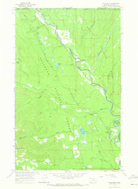
1966 · Trailcreek
USGS Topo · 1:24,000