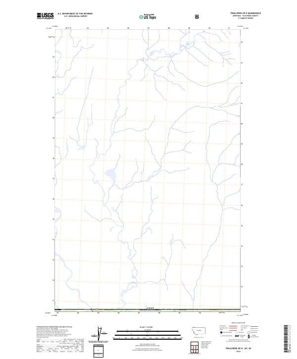
2024 Map of Trailcreek OE N
USGS Topo · Published 2024About this map
The international border between Canada United States of America and Montana Flathead Co defines the southern edge of this topographic study. This remote northern landscape is characterized by an intricate network of narrow streams and tributaries that drain the high elevations of the Flathead 4 O area. While the terrain is largely devoid of named settlements or infrastructure, the mapping reveals a complex hydrology of unbridged watercourses and small unnamed lakes typical of the high-country borderlands. The absence of roads or developed sites on this 2024 survey emphasizes the wilderness character of the region, where the primary human presence is marked by the historical survey lines and administrative boundaries that separate British Columbia from the United States.
Find a feature on this map
3 named features on this map. Tap any name to fly to it.
Don’t see what you’re looking for? This feature index may not catch every label — zoom into the map to look around manually.
Map Details
Editions of this 2024 Trailcreek OE N Map
This is the sole edition of this map. No revisions or reprints were ever made.
Other maps of this area

1906 · Kintla Lakes
USGS Topo · 1:125,000

1913 · Stryker
USGS Topo · 1:125,000

1916 · Stryker
USGS Topo · 1:125,000

1938 · Kintla Lakes
USGS Topo · 1:125,000

1957 · Kalispell
USGS Topo · 1:250,000

1960 · Kalispell
USGS Topo · 1:250,000

1961 · Kalispell
USGS Topo · 1:250,000

1966 · Kintla Lake
USGS Topo · 1:24,000

1966 · Mount Hefty
USGS Topo · 1:24,000
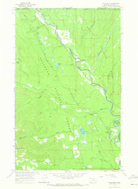
1966 · Trailcreek
USGS Topo · 1:24,000