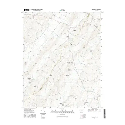
2016 Map of Tranquillity
USGS Topo · Published 2016About this map
The boundary between Meigs Co and McMinn Co runs through a landscape defined by sharp ridges and deep hollows, including No Pone Valley and Rogers Creek Valley. Local life in this part of Tennessee centers on small settlements like Sewee, Tranquillity, and Clearwater, where the placement of rural churches and cemeteries such as Tranquillity Methodist Church Cem and Rogers Creek Baptist Church Cem reflects the long-standing community foundations.
Find a feature on this map
135 named features on this map. Tap any name to fly to it.
Don’t see what you’re looking for? This feature index may not catch every label — zoom into the map to look around manually.
Map Details
Editions of this 2016 Tranquillity Map
This is the sole edition of this map. No revisions or reprints were ever made.
Other maps of this area

1886 · Cleveland
USGS Topo · 1:125,000

1887 · Kingston
USGS Topo · 1:125,000

1891 · Kingston
USGS Topo · 1:125,000

1892 · Cleveland
USGS Topo · 1:125,000

1893 · Kingston
USGS Topo · 1:125,000

1895 · Cleveland
USGS Topo · 1:125,000

1901 · Cleveland
USGS Topo · 1:125,000

1935 · Niota
USGS Topo · 1:24,000

1935 · Athens
USGS Topo · 1:24,000

1935 · Goodfield
USGS Topo · 1:24,000