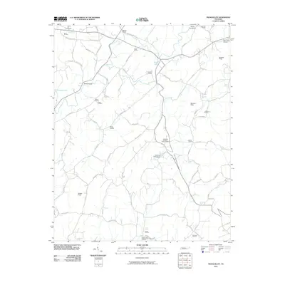
1973 Map of Tranquillity
USGS Topo · Published 1996About this map
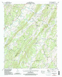
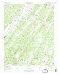
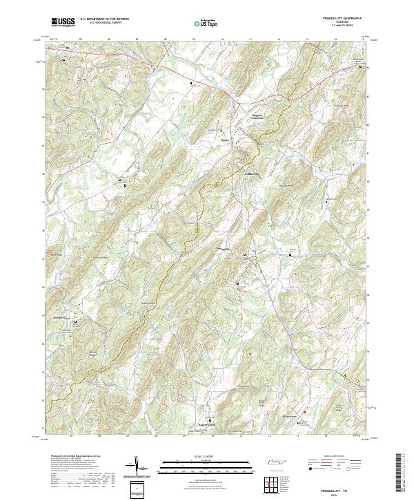
Pone Ridge and the adjacent Pone Valley define the landscape of this McMinn County region, where rural settlement patterns follow the parallel ridges and narrow valleys. This area, updated in the early 1990s from 1970s field data, remains anchored by agricultural crossroads like Boggess Crossroad and small communities such as Walnut Grove and Clearwater. The hydraulic history of the terrain is evident in the numerous water sources including Lockmiller Springs, Simpson Spring, and the prominent Big Sewee Creek.
Find a feature on this map
58 named features on this map. Tap any name to fly to it.
Don’t see what you’re looking for? This feature index may not catch every label — zoom into the map to look around manually.
Map Details
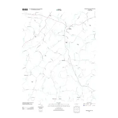
Editions of this 1973 Tranquillity Map
2 editions found
Historical Maps of Boggess Crossroad Through Time
9 maps found
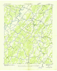
1936 Tranquillity
McMinn County, TN

1941 Tranquillity
McMinn County, TN
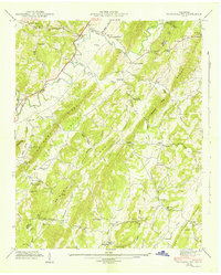
1942 Tranquillity
McMinn County, TN
1973 Tranquillity
McMinn County, TN
2010 Tranquillity
McMinn County, TN
2013 Tranquillity
McMinn County, TN
2016 Tranquillity
McMinn County, TN
2019 Tranquillity
McMinn County, TN
2022 Tranquillity
McMinn County, TN