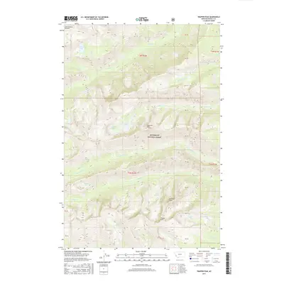
2017 Map of Trapper Peak
USGS Topo · Published 2017About this map
Bitterroot National Forest dominates this high-elevation landscape, where the granite crests of the Bitterroot Mountains reach their highest point at Trapper Peak. The drainage patterns here are complex and strictly defined by glacial geology, with steep canyons housing a network of subalpine lakes including Chaffin Lake, Trapper Lake, and the distinctive Gem Lake. Water moves through the terrain via the N Fork Trapper Cr and Chaffin Cr, carving deep relief into the Montana landscape.
Find a feature on this map
38 named features on this map. Tap any name to fly to it.
Don’t see what you’re looking for? This feature index may not catch every label — zoom into the map to look around manually.
Map Details
Editions of this 2017 Trapper Peak Map
This is the sole edition of this map. No revisions or reprints were ever made.
Other maps of this area

1901 · Hamilton
USGS Topo · 1:125,000

1956 · Elk City
USGS Topo · 1:250,000

1956 · Hamilton
USGS Topo · 1:250,000

1959 · Hamilton
USGS Topo · 1:250,000

1960 · Elk City
USGS Topo · 1:250,000

1960 · Hamilton
USGS Topo · 1:250,000

1964 · Hamilton
USGS Topo · 1:250,000

1964 · Burnt Ridge
USGS Topo · 1:24,000

1964 · Boulder Peak
USGS Topo · 1:24,000

1964 · Darby
USGS Topo · 1:24,000