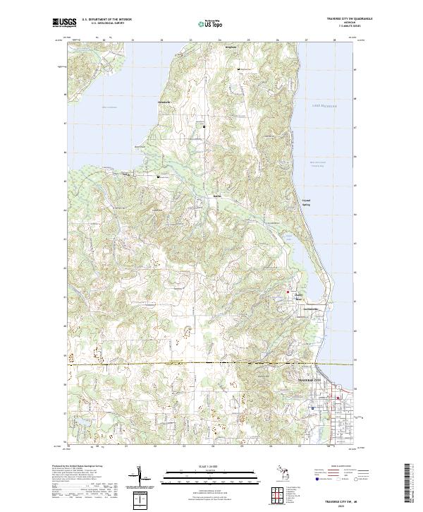
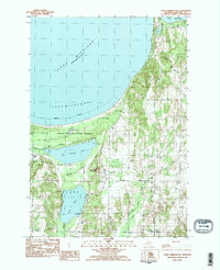
2023 Map of Traverse City SW
USGS Topo · Published 2023About this map
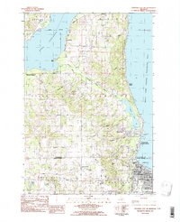
West Arm Grand Traverse Bay dominates the eastern edge of this coastal survey, where the waters of Lake Michigan meet the shoreline of Greilickville. The interior landscape is defined by the transition from the shores of Lake Leelanau in the northwest to the suburban and industrial outskirts of Traverse City in the southeast. This contemporary rendering documents the complex intersection of natural drainage and modern development, with small water bodies like Cedar Lake and Stricker Lake interspersed among residential roads.
Find a feature on this map
150 named features on this map. Tap any name to fly to it.
Don’t see what you’re looking for? This feature index may not catch every label — zoom into the map to look around manually.
Map Details
Editions of this 2023 Traverse City SW Map
This is the sole edition of this map. No revisions or reprints were ever made.
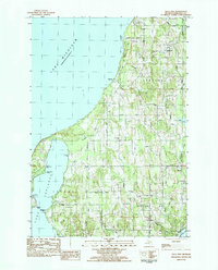
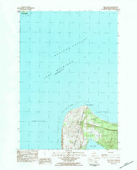
Historical Maps of Cherry Bend Through Time
24 maps found
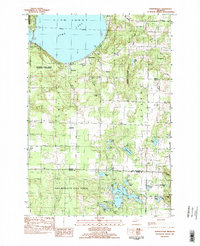
1983 Burdickville
Leelanau County, MI
1983 Gills Pier
Leelanau County, MI
1983 Glen Haven
Leelanau County, MI
1983 Good Harbor Bay
Leelanau County, MI
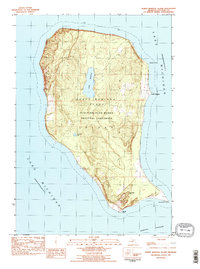
1983 North Manitou Island
Leelanau County, MI
1983 Northport NW
Leelanau County, MI
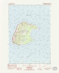
1983 South Manitou Island
Leelanau County, MI
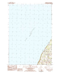
1983 Traverse City SW
Leelanau County, MI
1986 South Fox Island
Leelanau County, MI
1997 North Manitou Island
Leelanau County, MI
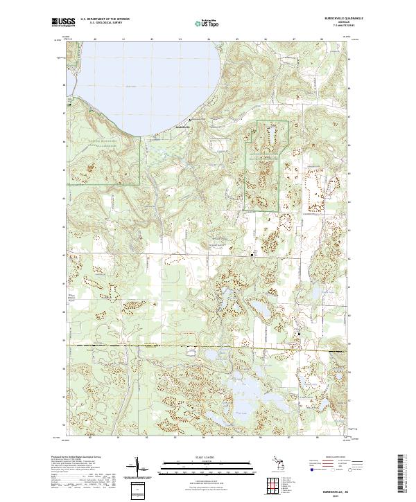
2023 Burdickville
Leelanau County, MI
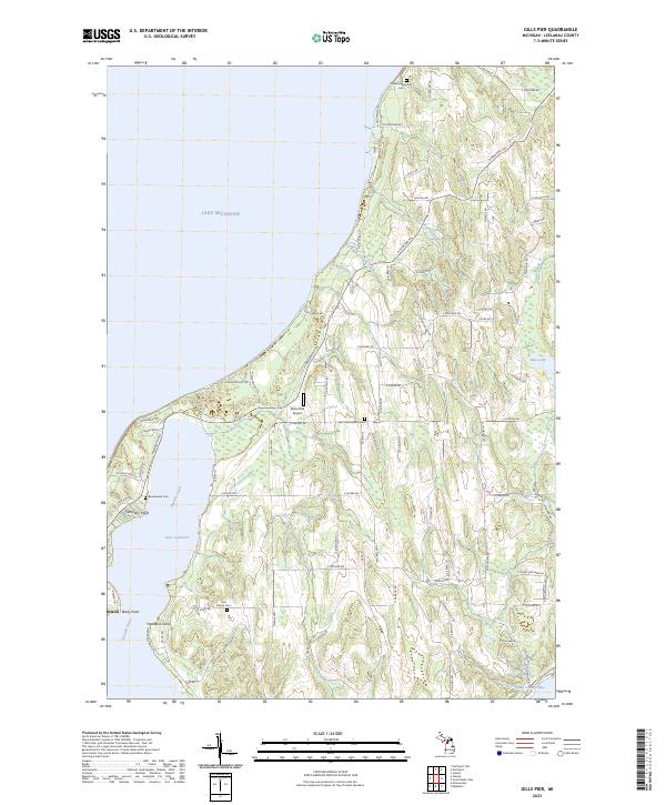
2023 Gills Pier
Leelanau County, MI
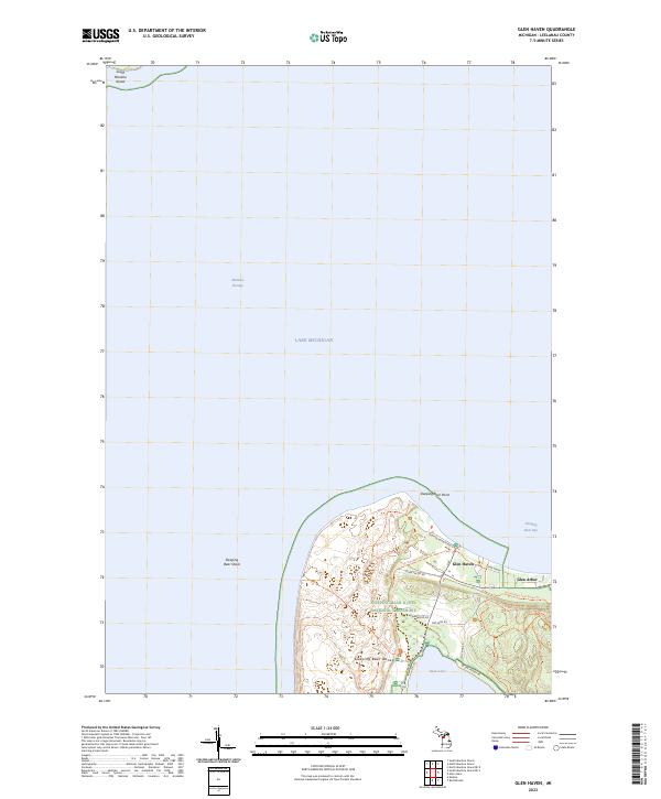
2023 Glen Haven
Leelanau County, MI
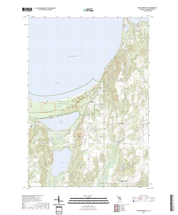
2023 Good Harbor Bay
Leelanau County, MI
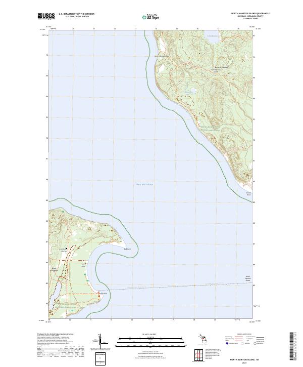
2023 North Manitou Island
Leelanau County, MI
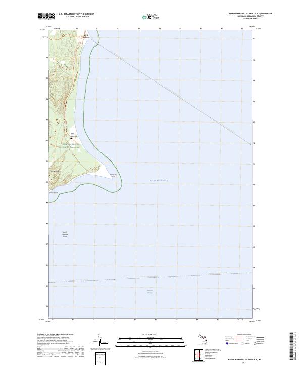
2023 North Manitou Island OE E
Leelanau County, MI
2023 North Manitou Island OE NE
Leelanau County, MI
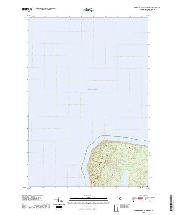
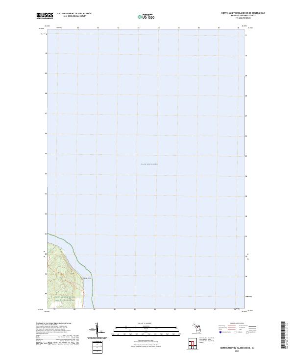
2023 North Manitou Island OE N
Leelanau County, MI
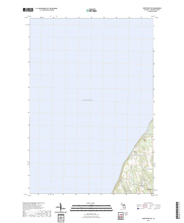
2023 Northport NW
Leelanau County, MI
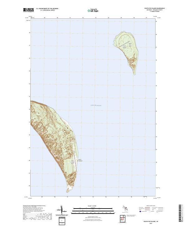
2023 South Fox Island
Leelanau County, MI
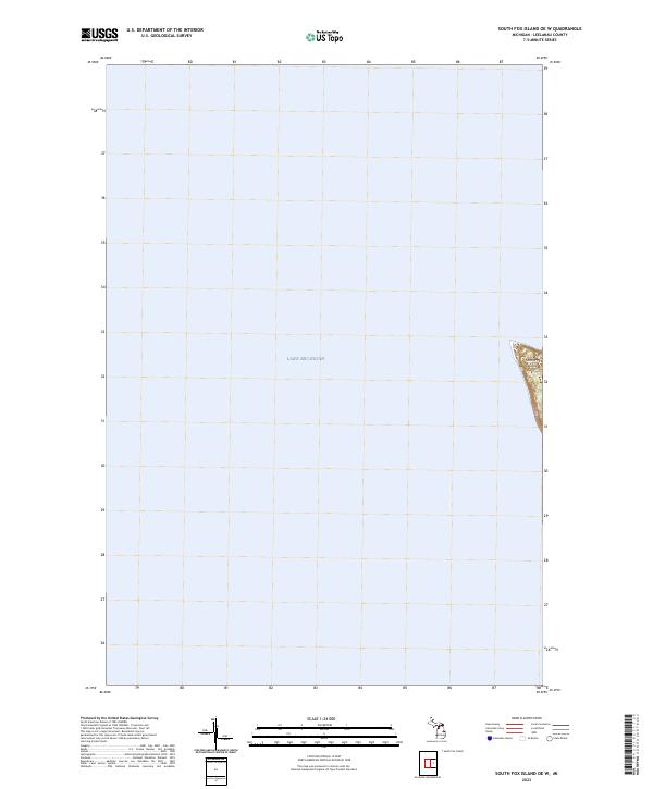
2023 South Fox Island OE W
Leelanau County, MI
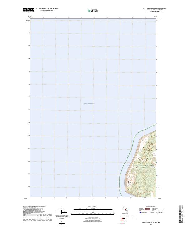
2023 South Manitou Island
Leelanau County, MI
2023 South Manitou Island OE S
Leelanau County, MI
2023 Traverse City SW
Leelanau County, MI
Featured Locations
- Elmwood Charter Township, MI
- Garfield Township, MI
- Long Lake Township, MI
- Traverse City, MI
- Greilickville, Elmwood Charter Township