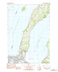
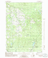
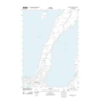
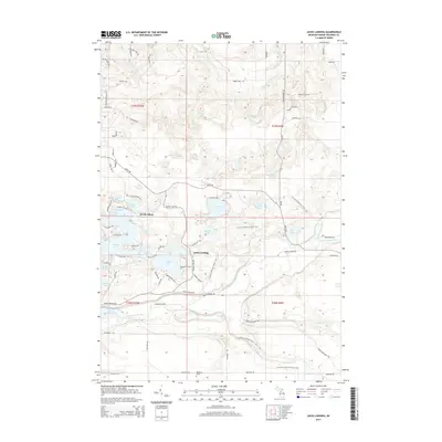
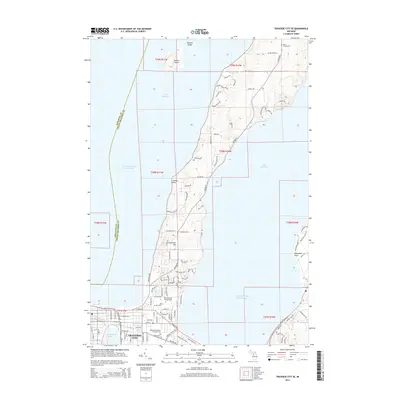
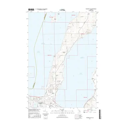
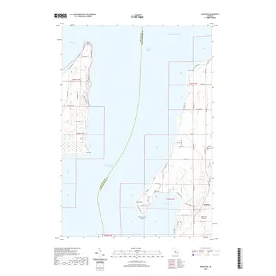
1983 Map of Traverse City SE
USGS Topo · Published 1984About this map
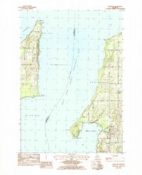
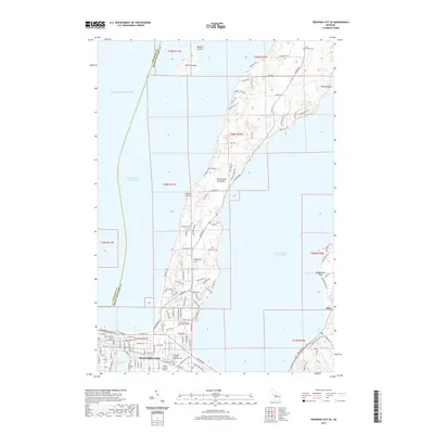
The dense grid of Traverse City anchors the southern end of the peninsula, where the waters of Boardman Lake meet the larger arms of the bay. In the early 1980s, the city's role as a regional hub is evident through institutional landmarks like Northwestern Michigan College, the Great Lakes Maritime Academy, and the Osteopathic Hosp. Beyond the urban core, the landscape transitions into the residential and agricultural reaches of the Peninsula, dotted with landmarks such as St Josephs Cem and Peninsula Sch. To the east, the settlement of Acme borders the shoreline near the Pere Marquette State Forest. The map captures a moment of growth where historic sites like Oakwood Cemetery and St Francis Ch sit alongside expanding recreational spaces like Bryant Park and Indian Woods Park, documenting the evolving character of this Grand Traverse Bay community.
Find a feature on this map
43 named features on this map. Tap any name to fly to it.
Don’t see what you’re looking for? This feature index may not catch every label — zoom into the map to look around manually.
Map Details
Editions of this 1983 Traverse City SE Map
This is the sole edition of this map. No revisions or reprints were ever made.
Historical Maps of Traverse City Through Time
44 maps found
1976 Thompsonville NE
Grand Traverse County, MI
1976 Thompsonville SE
Grand Traverse County, MI
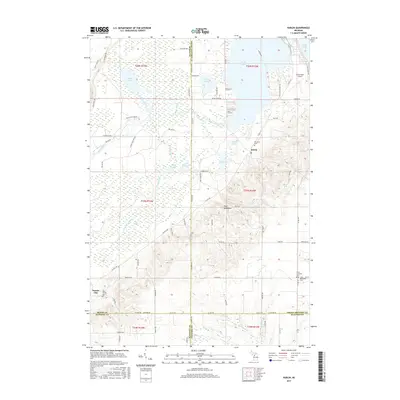
1983 Karlin
Grand Traverse County, MI
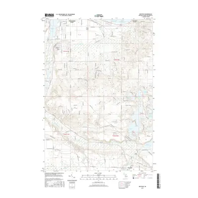
1983 Mapleton
Grand Traverse County, MI
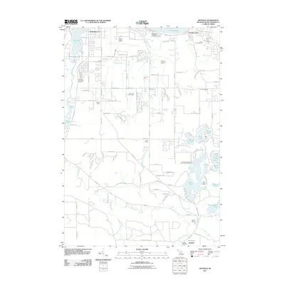
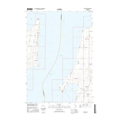
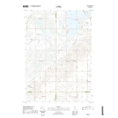
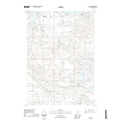
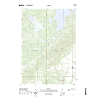
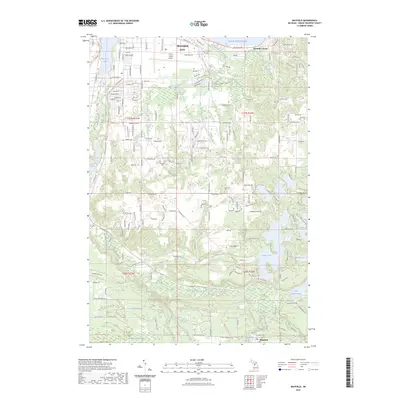
1983 Mayfield
Grand Traverse County, MI
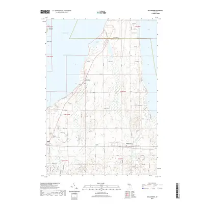
1983 Traverse City SE
Grand Traverse County, MI
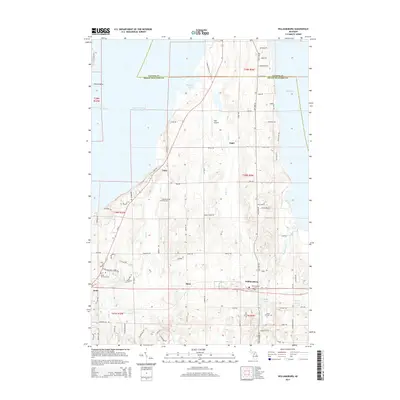
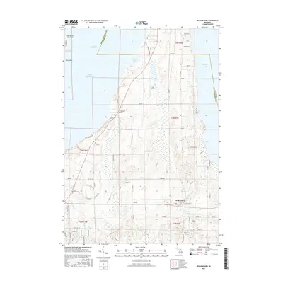
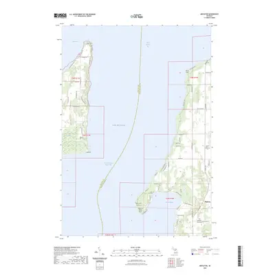
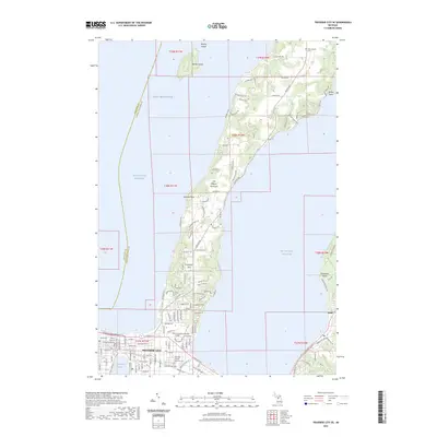
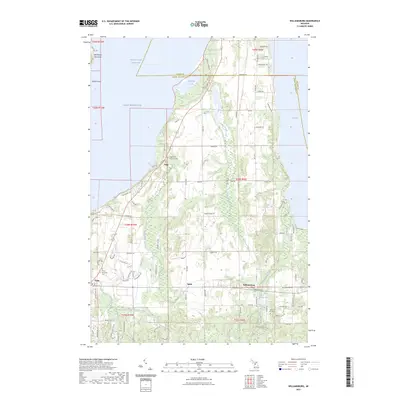
1983 Williamsburg
Grand Traverse County, MI
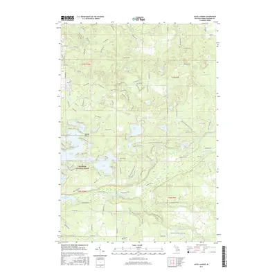
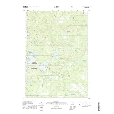
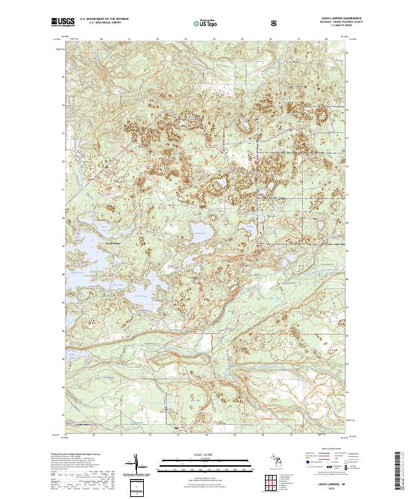
1985 Jacks Landing
Grand Traverse County, MI
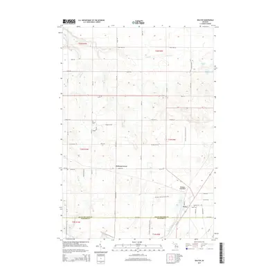
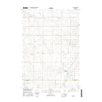
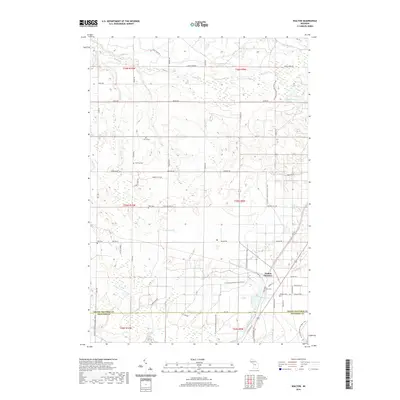
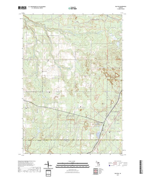
1985 Walton
Grand Traverse County, MI
2011 Jacks Landing
Grand Traverse County, MI
2011 Karlin
Grand Traverse County, MI
2011 Mapleton
Grand Traverse County, MI
2011 Mayfield
Grand Traverse County, MI
2011 Traverse City SE
Grand Traverse County, MI
2011 Walton
Grand Traverse County, MI
2011 Williamsburg
Grand Traverse County, MI
2014 Jacks Landing
Grand Traverse County, MI
2014 Karlin
Grand Traverse County, MI
2014 Mapleton
Grand Traverse County, MI
2014 Mayfield
Grand Traverse County, MI
2014 Traverse City SE
Grand Traverse County, MI
2014 Walton
Grand Traverse County, MI
2014 Williamsburg
Grand Traverse County, MI
2017 Jacks Landing
Grand Traverse County, MI
2017 Karlin
Grand Traverse County, MI
2017 Mapleton
Grand Traverse County, MI
2017 Mayfield
Grand Traverse County, MI
2017 Traverse City SE
Grand Traverse County, MI
2017 Walton
Grand Traverse County, MI
2017 Williamsburg
Grand Traverse County, MI
2019 Jacks Landing
Grand Traverse County, MI
2019 Karlin
Grand Traverse County, MI
2019 Mapleton
Grand Traverse County, MI
2019 Mayfield
Grand Traverse County, MI
2019 Traverse City SE
Grand Traverse County, MI
2019 Walton
Grand Traverse County, MI
2019 Williamsburg
Grand Traverse County, MI
2023 Jacks Landing
Grand Traverse County, MI
2023 Karlin
Grand Traverse County, MI
2023 Mapleton
Grand Traverse County, MI
2023 Mayfield
Grand Traverse County, MI
2023 Traverse City SE
Grand Traverse County, MI
2023 Walton
Grand Traverse County, MI
2023 Williamsburg
Grand Traverse County, MI