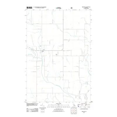
2011 Map of Trenary
USGS Topo · Published 2011About this map
Trenary sits as the primary settlement in this portion of the Upper Peninsula, located at the confluence of several regional roads and drainage systems. The landscape is defined by the convergence of the West Branch Whitefish River and the East Branch Whitefish River, which carve through a network of creeks including Scott Creek, Dexter Creek, and Spring Creek. This 2011 survey documents the established community infrastructure, featuring the Trenary Post Office and the Trenary Cemetery north of the main town center. To the east, the smaller settlement of Winters sits along County Hwy-126. The Trenary Lookout Tower stands as a notable landmark overlooking the central basin, emphasizing the area's forest management history and the surrounding wetlands that feed the Whitefish River system.
Find a feature on this map
42 named features on this map. Tap any name to fly to it.
Don’t see what you’re looking for? This feature index may not catch every label — zoom into the map to look around manually.
Map Details
Editions of this 2011 Trenary Map
This is the sole edition of this map. No revisions or reprints were ever made.
Other maps of this area

1932 · Trenary SW
USGS Topo · 1:31,680

1932 · Rock NE
USGS Topo · 1:31,680

1932 · Skandia SE
USGS Topo · 1:31,680

1932 · Trenary SE
USGS Topo · 1:31,680

1932 · Rock SE
USGS Topo · 1:31,680

1958 · Trenary
USGS Topo · 1:62,500

1958 · Au Train
USGS Topo · 1:62,500

1958 · Skandia
USGS Topo · 1:62,500
1958 · Rock
USGS Topo · 1:62,500

1958 · Marquette
USGS Topo · 1:250,000
Featured Places
- Mathias Township, MI
- Trenary, MI
- Limestone Township, MI
- Masonville Township, MI
- Maple Ridge Township, MI