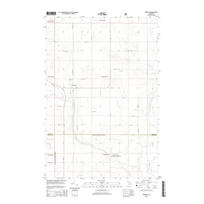
2014 Map of Trenary
USGS Topo · Published 2014About this map
Trenary stands as the primary settlement on this Michigan map, positioned at the critical junction where Us-41 meets M-67. The surrounding landscape of Mathias Township is defined by an intricate network of waterways, most notably the West Branch Whitefish River and East Br Whitefish River, which drain the timbered lands of the Hiawatha National Forest. Local history is anchored by the Trenary Cem located just north of the village center near Scott Creek. The road network reflects a history of rural development, with numerous family-named routes such as Gilliland Rd, Kallio Rd, and Pellow Rd branching out through the forest. These corridors, along with features like Dexter Cr and Werners Creek, highlight the era's reliance on both highway transportation and the natural watershed for the region's geography.
Find a feature on this map
38 named features on this map. Tap any name to fly to it.
Don’t see what you’re looking for? This feature index may not catch every label — zoom into the map to look around manually.
Map Details
Editions of this 2014 Trenary Map
This is the sole edition of this map. No revisions or reprints were ever made.
Other maps of this area

1932 · Trenary SW
USGS Topo · 1:31,680

1932 · Rock NE
USGS Topo · 1:31,680

1932 · Skandia SE
USGS Topo · 1:31,680

1932 · Trenary SE
USGS Topo · 1:31,680

1932 · Rock SE
USGS Topo · 1:31,680

1958 · Trenary
USGS Topo · 1:62,500

1958 · Au Train
USGS Topo · 1:62,500

1958 · Skandia
USGS Topo · 1:62,500
1958 · Rock
USGS Topo · 1:62,500

1958 · Marquette
USGS Topo · 1:250,000
Featured Places
- Mathias Township, MI
- Trenary, MI
- Limestone Township, MI
- Masonville Township, MI
- Maple Ridge Township, MI