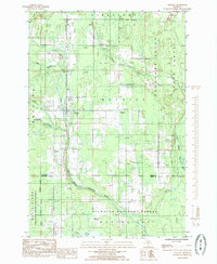
1985 Map of Trenary
USGS Topo · Published 1985About this map
Trenary sits at the junction of the central Upper Peninsula’s forest lands and agricultural clearings, serving as the primary hub for the surrounding townships of Limestone and Mathias. This mid-1980s data shows a landscape defined by its timber and water resources, with the Escanaba River flowing through the northeast and the West Branch Whitefish River cutting across the south. The proximity of the Township Park School and First Ch to the main settlement center highlights the civic core of this rural community during the late twentieth century.
Find a feature on this map
28 named features on this map. Tap any name to fly to it.
Don’t see what you’re looking for? This feature index may not catch every label — zoom into the map to look around manually.
Map Details
Editions of this 1985 Trenary Map
This is the sole edition of this map. No revisions or reprints were ever made.
Other maps of this area

1932 · Trenary SW
USGS Topo · 1:31,680

1932 · Rock NE
USGS Topo · 1:31,680

1932 · Skandia SE
USGS Topo · 1:31,680

1932 · Trenary SE
USGS Topo · 1:31,680

1932 · Rock SE
USGS Topo · 1:31,680

1958 · Trenary
USGS Topo · 1:62,500

1958 · Au Train
USGS Topo · 1:62,500

1958 · Skandia
USGS Topo · 1:62,500
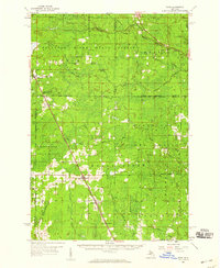
1958 · Rock
USGS Topo · 1:62,500

1958 · Marquette
USGS Topo · 1:250,000
Featured Places
- Mathias Township, MI
- Limestone Township, MI
- Masonville Township, MI
- Maple Ridge Township, MI
- Trenary, MI