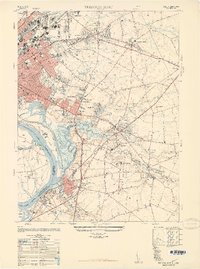
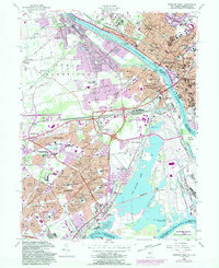
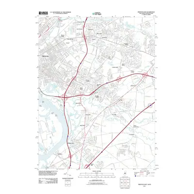
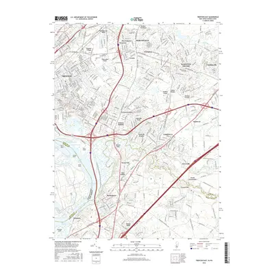
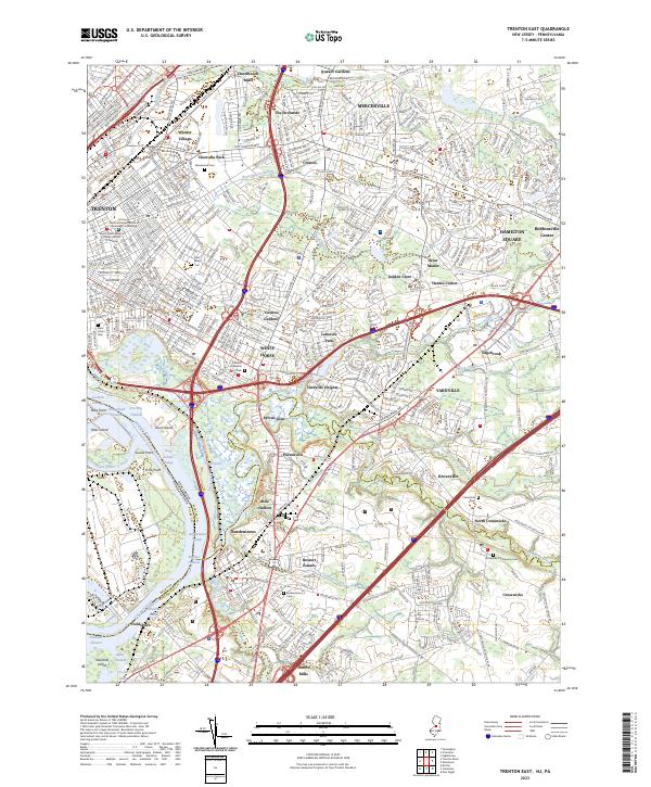
1948 Map of Trenton East
USGS Topo · Published 1949About this map
Trenton and its eastern suburbs are captured here at the peak of post-war development, where established neighborhoods like Bromley Park and Greenwood Village sit alongside newer housing tracts such as DeCou Village. The map reveals a complex infrastructure supporting the region, including the Trenton Switching Station and the Western Union Transmitting and Fire Tower. Industrial and educational landmarks are prominent, from the Pennsylvania Maritime Academy on the riverfront to the State Industrial School near Bordentown.
Find a feature on this map
82 named features on this map. Tap any name to fly to it.
Don’t see what you’re looking for? This feature index may not catch every label — zoom into the map to look around manually.
Map Details
Editions of this 1948 Trenton East Map
This is the sole edition of this map. No revisions or reprints were ever made.
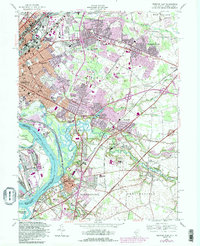
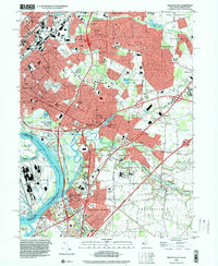
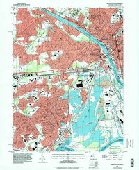
Historical Maps of Hamilton Township Through Time
18 maps found
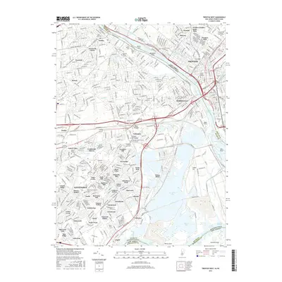
1944 Trenton West
Mercer County, NJ
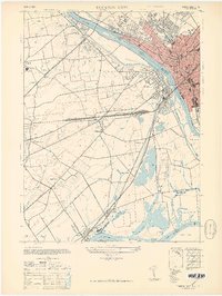
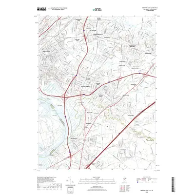
1947 Trenton East
Mercer County, NJ
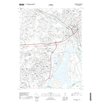
1947 Trenton West
Mercer County, NJ
1948 Trenton East
Mercer County, NJ
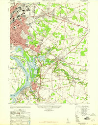
1955 Trenton West
Mercer County, NJ
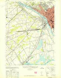
1957 Trenton East
Mercer County, NJ
1995 Trenton East
Mercer County, NJ
1995 Trenton West
Mercer County, NJ
2011 Trenton East
Mercer County, NJ
2011 Trenton West
Mercer County, NJ
2014 Trenton East
Mercer County, NJ
2014 Trenton West
Mercer County, NJ
2016 Trenton East
Mercer County, NJ
2016 Trenton West
Mercer County, NJ
2019 Trenton East
Mercer County, NJ
2019 Trenton West
Mercer County, NJ
2023 Trenton East
Mercer County, NJ
2023 Trenton West
Mercer County, NJ