2022 Map of Trenton
USGS Topo · Published 2022About this map
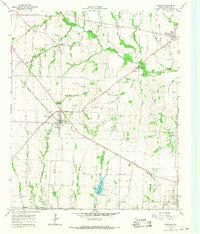
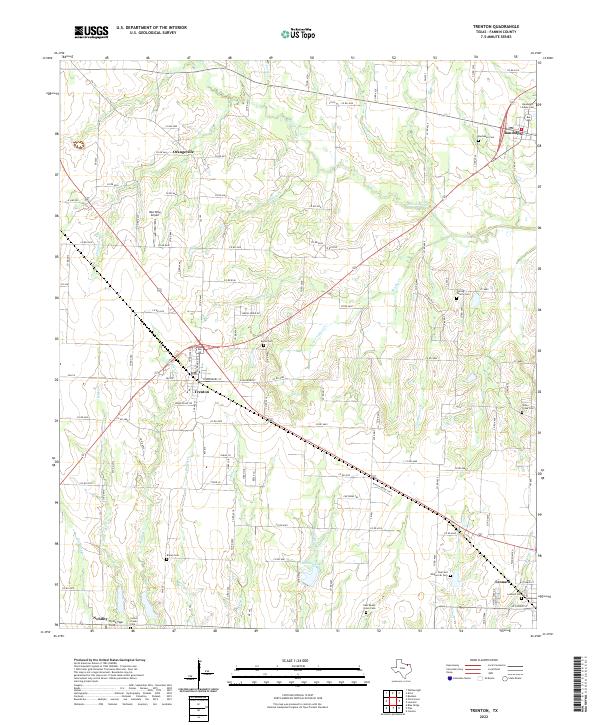
Trenton and Leonard anchor this portion of Fannin County, where the north Texas landscape is defined by a dense network of creek drainages and small rural settlements. The terrain is shaped by the winding paths of Bois d'Arc Cr, Cottonwood Cr, and Brushy Cr, which cut through the agricultural fields and pastures. A distinct concentration of family and community burial sites, such as the Culling Family Cem and Deel and Whitworth Cem, provides significant value for genealogical research, anchoring family names to specific plots of land. Aviation history is represented by Red Wing Airport and Flying Tiger Field, highlighting the modern transport infrastructure alongside the older agricultural footprint. The layout of the road network, including FM 151 and various county roads, connects outlying hamlets like Orangeville and Nobility to the larger railway-influenced hubs of Randolph and Trenton.
Find a feature on this map
128 named features on this map. Tap any name to fly to it.
Don’t see what you’re looking for? This feature index may not catch every label — zoom into the map to look around manually.
Map Details
Editions of this 2022 Trenton Map
This is the sole edition of this map. No revisions or reprints were ever made.