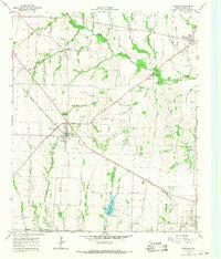
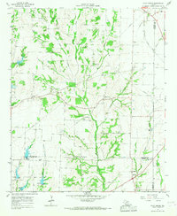
1964 Map of Trenton
USGS Topo · Published 1967About this map
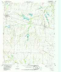
Trenton serves as a central hub in this Fannin County landscape, situated at the junction of the Missouri Kansas Texas railroad and local thoroughfares. The 1964 survey captures a rural Texas economy transitioning between traditional agriculture and localized industry, evidenced by the numerous Gravel Pits, Borrow Pits, and a Quarry dotting the terrain. The hydrological network is dominated by the winding path of Bois d'Arc Creek and its many tributaries, including Chinquapin Creek and Blanton Creek. Genealogy and local history are preserved through the locations of rural landmarks like Blanton Chapel, East Shady Grove Ch, and the Burns Cem near Nobility. The map also details early water management infrastructure, such as the Thomas Lake reservoir with its Spillway and the municipal Sewage Disposal Ponds south of the Trenton town site.
Find a feature on this map
40 named features on this map. Tap any name to fly to it.
Don’t see what you’re looking for? This feature index may not catch every label — zoom into the map to look around manually.
Map Details
Editions of this 1964 Trenton Map
This is the sole edition of this map. No revisions or reprints were ever made.
Other maps of this area

1954 · Sherman
USGS Topo · 1:250,000
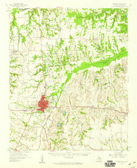
1958 · Bonham
USGS Topo · 1:62,500
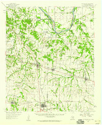
1958 · Whitesright
USGS Topo · 1:62,500

1958 · Sherman
USGS Topo · 1:250,000
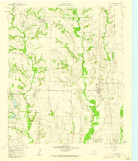
1960 · Blue Ridge
USGS Topo · 1:24,000
1960 · Pike
USGS Topo · 1:24,000
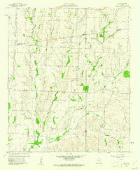
1964 · Pilot Grove
USGS Topo · 1:24,000
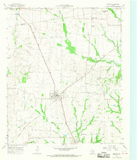
1964 · Celeste
USGS Topo · 1:24,000
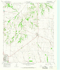
1964 · Leonard
USGS Topo · 1:24,000
1984 · Ector
USGS Topo · 1:24,000