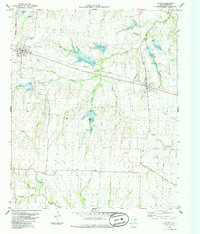
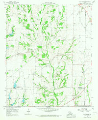
1984 Map of Ector
USGS Topo · Published 1985About this map
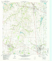
Savoy and Ector serve as the primary hubs on this Fannin County landscape, connected by the Missouri Pacific railroad. The map reveals a deeply rooted rural infrastructure of small settlements like Ely and Enterprise, surrounded by an extensive network of family and community burial grounds including Little Jordan Cem, Wrenn Cem, and Porter Cem. The terrain is defined by its many drainages, where Post Oak Creek, Caney Creek, and Bois d'Arc Creek carve through the agricultural land. This survey provides a look at the area's mid-century rural character, preserving the locations of local landmarks such as the Rodeo Ground and the Radio Tower, alongside industrial markers like the Gravel Pit and scattered churches like New Zion Ch.
Find a feature on this map
36 named features on this map. Tap any name to fly to it.
Don’t see what you’re looking for? This feature index may not catch every label — zoom into the map to look around manually.
Map Details
Editions of this 1984 Ector Map
This is the sole edition of this map. No revisions or reprints were ever made.
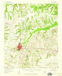
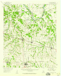
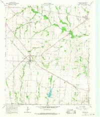
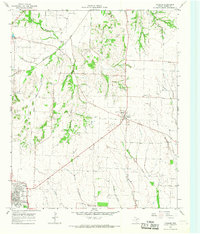
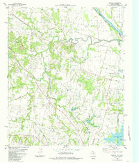
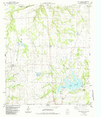
Other maps of this area

1954 · Sherman
USGS Topo · 1:250,000
1958 · Bonham
USGS Topo · 1:62,500
1958 · Whitesright
USGS Topo · 1:62,500

1958 · Sherman
USGS Topo · 1:250,000
1964 · Trenton
USGS Topo · 1:24,000
1964 · Pilot Grove
USGS Topo · 1:24,000
1964 · Leonard
USGS Topo · 1:24,000
1984 · Ambrose
USGS Topo · 1:24,000
1984 · Lake Bonham
USGS Topo · 1:24,000
1984 · Whitewright
USGS Topo · 1:24,000