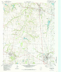
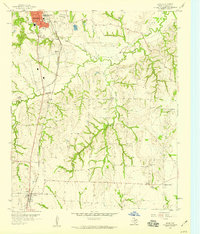
1984 Map of Whitewright
USGS Topo · Published 1985About this map
The railroad town of Whitewright serves as a central hub on this northern Texas prairie landscape, situated near the boundary of Grayson and Fannin Counties. The map illustrates a well-developed transportation and agricultural network, defined by the crossing of the Missouri Kansas Texas and Kansas Texas railroads. Several small, established communities like Tom Bean, Bells, and Kentucky Town are scattered across the terrain, which is drained by a system of creeks including Bois d'Arc and Pilot Grove Creek.
Find a feature on this map
37 named features on this map. Tap any name to fly to it.
Don’t see what you’re looking for? This feature index may not catch every label — zoom into the map to look around manually.
Map Details
Editions of this 1984 Whitewright Map
This is the sole edition of this map. No revisions or reprints were ever made.
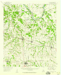
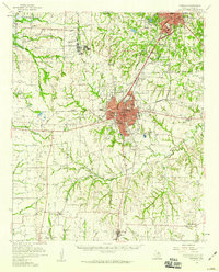
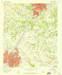
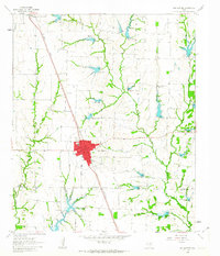
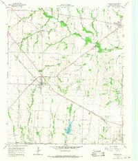
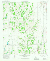
Other maps of this area

1901 · Denison
USGS Topo · 1:125,000

1954 · Sherman
USGS Topo · 1:250,000
1958 · Whitesright
USGS Topo · 1:62,500

1958 · Sherman
USGS Topo · 1:250,000
1958 · Sherman
USGS Topo · 1:62,500
1958 · Sherman
USGS Topo · 1:24,000
1958 · Howe
USGS Topo · 1:24,000
1961 · Van Alstyne
USGS Topo · 1:24,000
1964 · Trenton
USGS Topo · 1:24,000
1964 · Pilot Grove
USGS Topo · 1:24,000