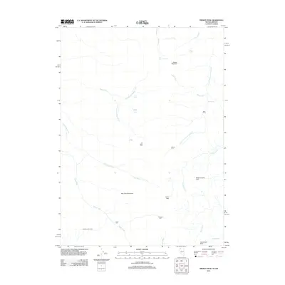
2011 Map of Trident Peak
USGS Topo · Published 2011About this map
Bilk Creek Mountains anchor this high-desert landscape in northern Humboldt County, where isolated human presence is marked by a series of cabins and corrals. The 2011 survey reveals a remote network of springs and drainages that supported cattle ranching and seasonal habitation, evidenced by the Jack Spade Cabin, Slatterly Cabin, and Woodward Cabin scattered across the terrain. These sites, along with the Miller Corral, suggest a long-standing reliance on the scattered water sources such as Buster Springs and Maggie Creek Spring. Significant elevation changes are defined by prominent summits including Trident Peak, Black Diamond Peak, and the northern reaches of Granite Mountain. The drainage patterns of Little Wilder Creek and Log Cabin Creek illustrate the complex hydrology of this basin-and-range geography at the start of the 21st century.
Find a feature on this map
30 named features on this map. Tap any name to fly to it.
Don’t see what you’re looking for? This feature index may not catch every label — zoom into the map to look around manually.
Map Details
Editions of this 2011 Trident Peak Map
This is the sole edition of this map. No revisions or reprints were ever made.
Other maps of this area

1886 · Disaster
USGS Topo · 1:250,000

1893 · Disaster
USGS Topo · 1:250,000

1954 · Vya
USGS Topo · 1:250,000

1955 · Adel
USGS Topo · 1:250,000

1957 · Adel
USGS Topo · 1:250,000

1958 · Vya
USGS Topo · 1:250,000

1958 · Adel
USGS Topo · 1:250,000

1961 · Trident Peak
USGS Topo · 1:62,500

1962 · Vya
USGS Topo · 1:250,000

1962 · Adel
USGS Topo · 1:250,000