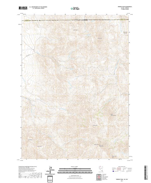
2021 Map of Trident Peak
USGS Topo · Published 2021About this map
The northern reaches of the Bilk Creek Mountains define this high-desert landscape along the border between Nevada and Oregon. This remote terrain is dominated by prominent summits such as Trident Peak, Black Diamond Peak, and Engeler Peak, creating a complex drainage network that feeds into the surrounding basins. Water sources are critical landmarks in this environment, evidenced by named features like Maggie Creek Spring, Buster Springs, and Crow Creek Spring which sustain life in the shadows of the Trout Creek Mountains.
Find a feature on this map
36 named features on this map. Tap any name to fly to it.
Don’t see what you’re looking for? This feature index may not catch every label — zoom into the map to look around manually.
Map Details
Editions of this 2021 Trident Peak Map
This is the sole edition of this map. No revisions or reprints were ever made.
Other maps of this area

1886 · Disaster
USGS Topo · 1:250,000

1893 · Disaster
USGS Topo · 1:250,000

1954 · Vya
USGS Topo · 1:250,000

1955 · Adel
USGS Topo · 1:250,000

1957 · Adel
USGS Topo · 1:250,000

1958 · Vya
USGS Topo · 1:250,000

1958 · Adel
USGS Topo · 1:250,000

1961 · Trident Peak
USGS Topo · 1:62,500

1962 · Vya
USGS Topo · 1:250,000

1962 · Adel
USGS Topo · 1:250,000