
Loading...
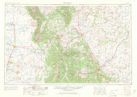
Loading map...1988 Map of Trinidad
USGS Topo · Published 1988About this map
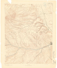
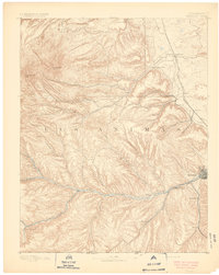
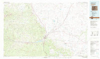
San Luis Valley and the towering Sangre de Cristo Mountains define this 1988 U.S. Geological Survey portrait of southern Colorado. The map traces the historical path of the Rio Grande as it flows south through the Alamosa National Wildlife Refuge, passing early settlements like Alamosa and San Luis. To the east, the dramatic transition from the Wet Mountains to the high plains is marked by the course of the Purgatoire River and the industrial activity around Trinidad.
Find a feature on this map
133 named features on this map. Tap any name to fly to it.
Don’t see what you’re looking for? This feature index may not catch every label — zoom into the map to look around manually.
Map Details
Date Portrayed1988
Date Published1988
PublisherU.S. Geological Survey
Map TypeTopographic
Scale1:250,000
Physical Dimensions34.5 x 22.1 inches
Editions of this 1988 Trinidad Map
This is the sole edition of this map. No revisions or reprints were ever made.
Historical Maps of Alamosa Through Time
8 maps found


Featured Locations
Source Details
SourceU.S. Geological Survey
CopyrightPublic Domain